
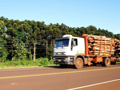
 Misiones | Timber transport
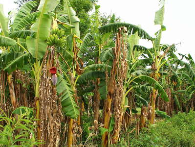 Misiones | Banana cultivation
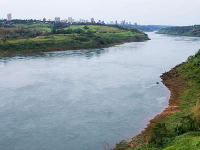 Río Paraná (Paraguay | Brazil)
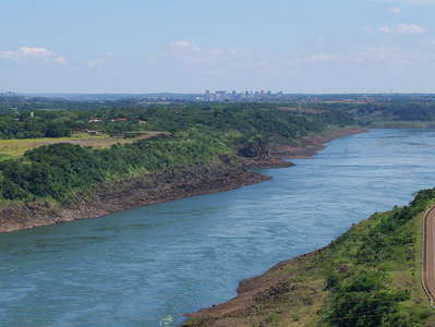 Río Paraná (Paraguay | Brazil)
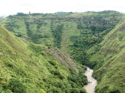 San Agustín | Río Magdalena
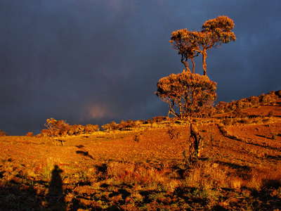 Puracé | Sunset near Pilimbala
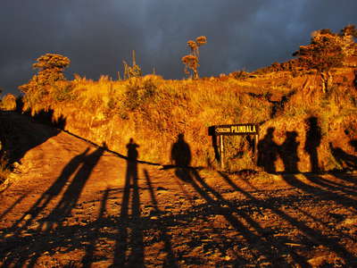 Puracé | Sunset near Pilimbala
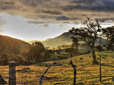 Puracé | Sunset near Pilimbala
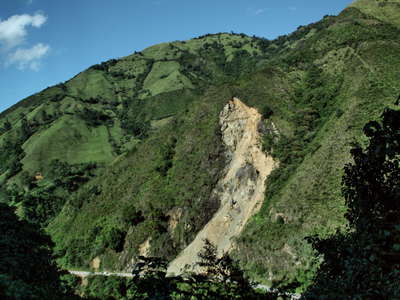 Coconuco | Landslide
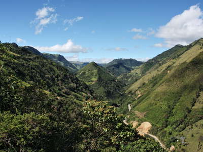 Cauca Valley near Coconuco
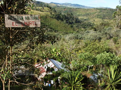 Cuenca Río Piedras | Reserva Natural El Laurel
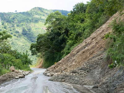 San Andrés Valley | Landslide
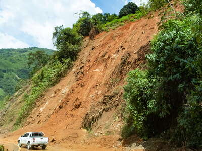 San Andrés Valley | Landslide
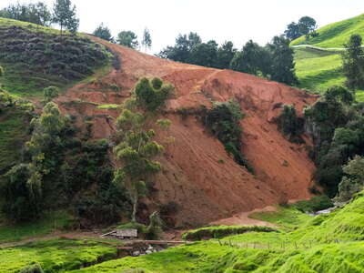 Northern highlands of Antioquia | Soil erosion
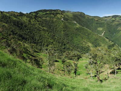 San Andrés Valley | Mountain landscape
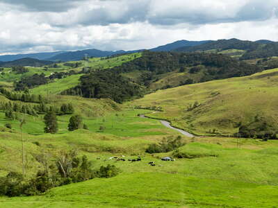 Northern highlands of Antioquia with Río San Andrés
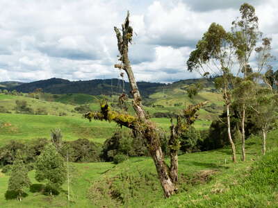 Northern highlands of Antioquia with grazing grounds
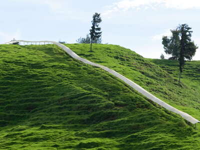 Northern highlands of Antioquia | Cattle walkway
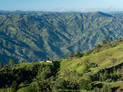 Eastern highlands of Antioquia
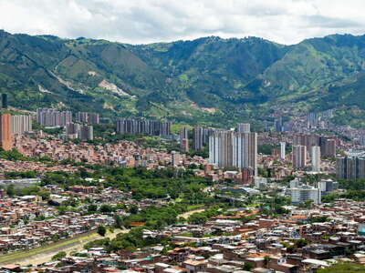 Aburrá Valley with Bello
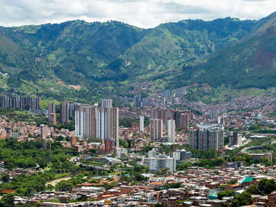 Aburrá Valley with Bello
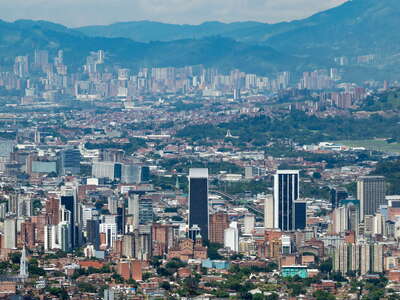 Aburrá Valley with Medellín and Sabaneta
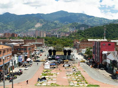 Medellín | Calle 58
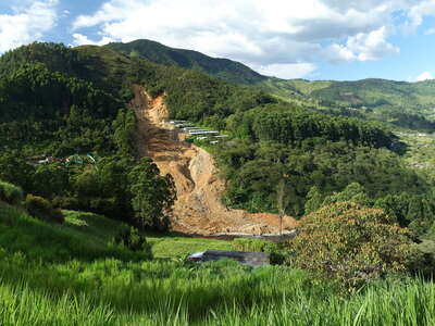 Quebrada Doña María with landslide
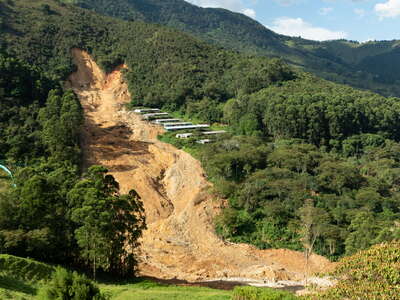 Quebrada Doña María | Landslide
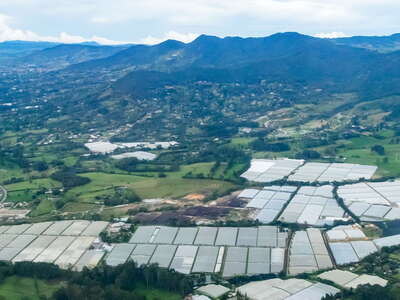 La Ceja | Floriculture
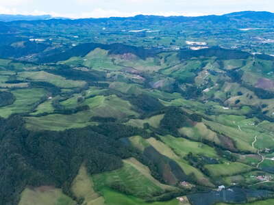 La Ceja | Vicinity of Cerro Chapecoense
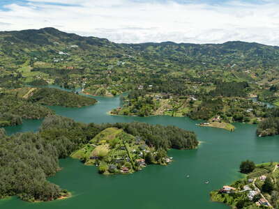 Eastern highlands of Antioquia with Embalse Peñol-Guatapé
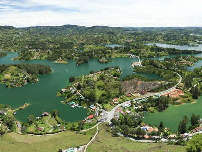 Eastern highlands of Antioquia with Embalse Peñol-Guatapé
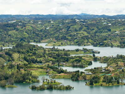 Eastern highlands of Antioquia with Embalse Peñol-Guatapé
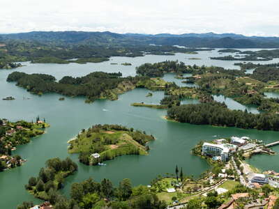 Eastern highlands of Antioquia with Embalse Peñol-Guatapé
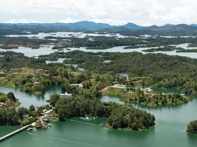 Eastern highlands of Antioquia with Embalse Peñol-Guatapé
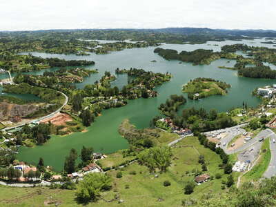 Eastern highlands of Antioquia with Embalse Peñol-Guatapé
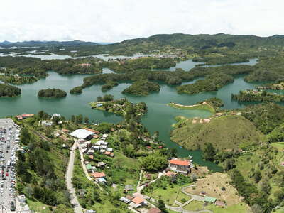 Eastern highlands of Antioquia with Embalse Peñol-Guatapé
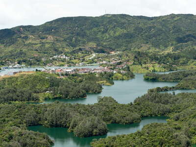 Eastern highlands of Antioquia with Guatapé
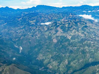 Sonsón | Cordillera Central with Río Aures
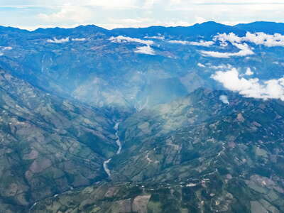 Sonsón | Cordillera Central with Río Arma
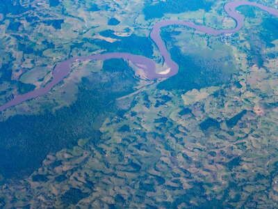 Río Guayas with Rionegro
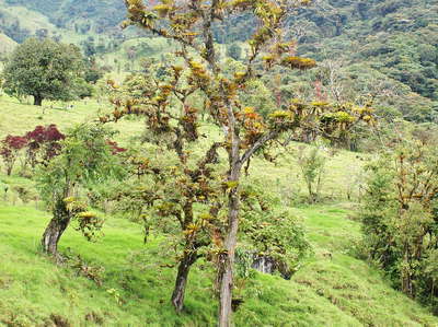 Valle del Río Papallacta | Remnant of cloud forest
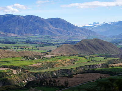 Valle del Río Chota
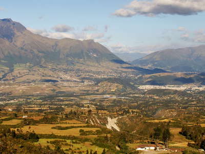 Otavalo and Volcán Imbabura
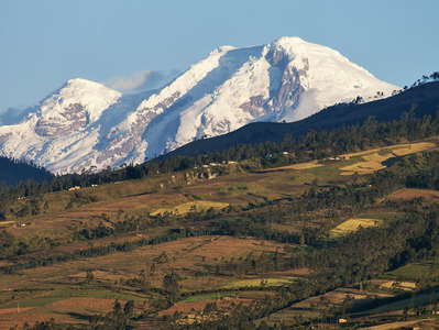 Volcán Cayambe
 Quito and Volcán Cayambe
 Volcán Antisana
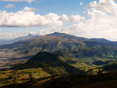 Quito | Panorama
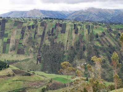 Ambato | Andean cultural landscape
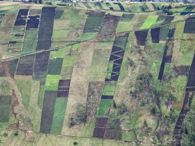 Ambato | Andean cultural landscape
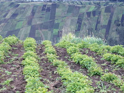 Ambato | Andean cultural landscape
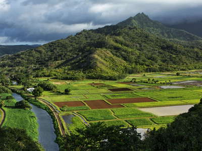 Hanalei Valley
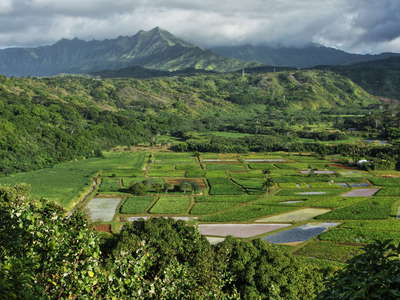 Hanalei Valley
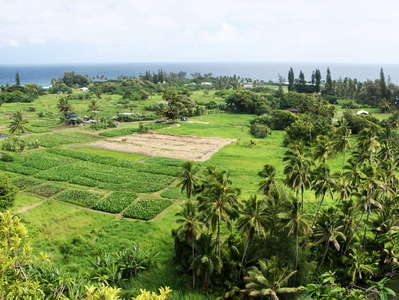 Ke'anae Peninsula
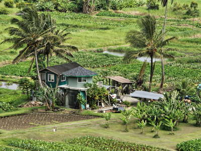 Ke'anae | Little paradise
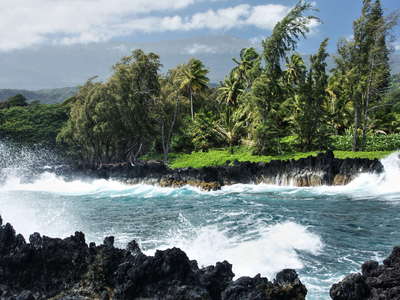 Ke'anae | Coast
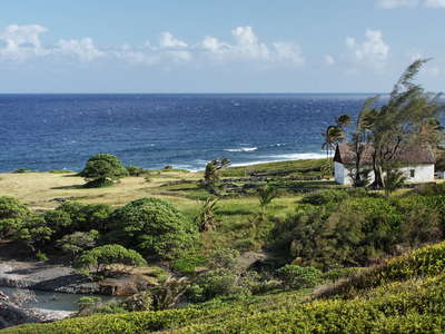 Mokulau | Coastal area
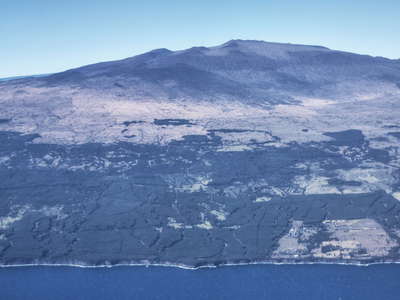 Mauna Kea
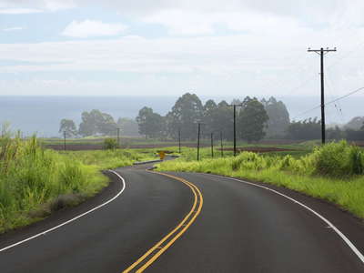 Honomū | Road and farmland
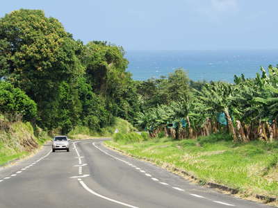 L'Ajoupa-Boullion | Banana cultivation
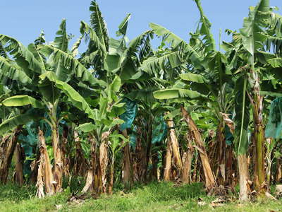 L'Ajoupa-Boullion | Banana cultivation
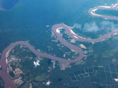 Río Huallaga with Pelejo and Papaplaya
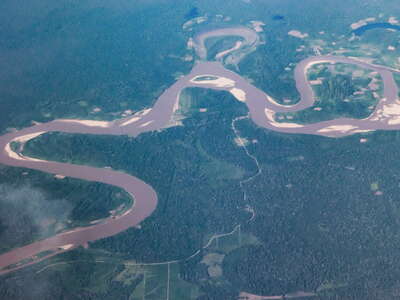 Río Huallaga
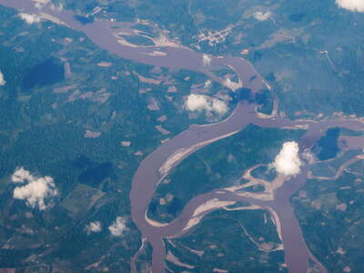 Río Huallaga with Tipishca
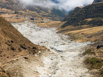 Quebrada Humantay with GLOF impact area of 2020
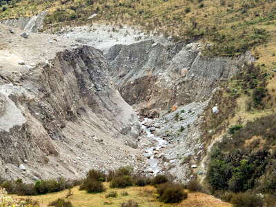 Quebrada Humantay | Erosion by the 2020 GLOF
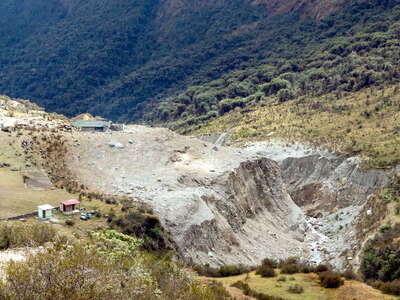 Quebrada Humantay with Wairaqmachai
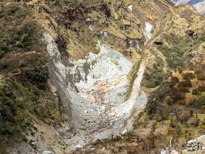 Quebrada Humantay | Erosion by the 2020 GLOF
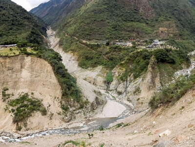 Santa Teresa Valley with Quebrada Humantay and Chaullay
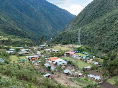 Santa Teresa Valley with Collpapampa
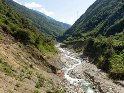 Cordillera Vilcabamba | Río Santa Teresa
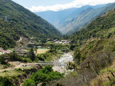 Santa Teresa Valley with Sahuayaco
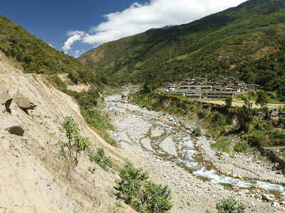 Santa Teresa Valley | Sahuayaco
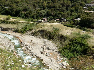 Santa Teresa Valley | Sahuayaco
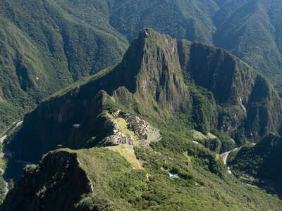 Machu Picchu with Huayna Picchu and Río Urubamba
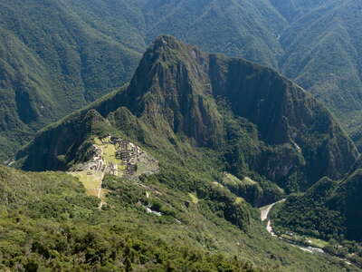 Machu Picchu with Huayna Picchu and Río Urubamba
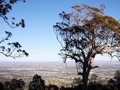 Rockhampton
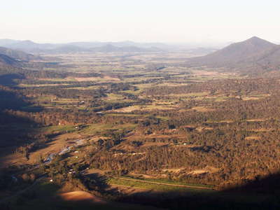 Pioneer Valley panorama
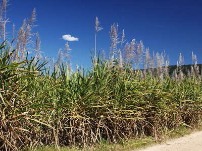 Proserpine | Sugar cane field
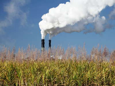 Proserpine | Sugar cane field and sugar mill
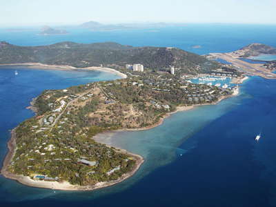 Whitsunday Islands | Hamilton Island
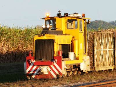 Innisfail | Sugar cane railway
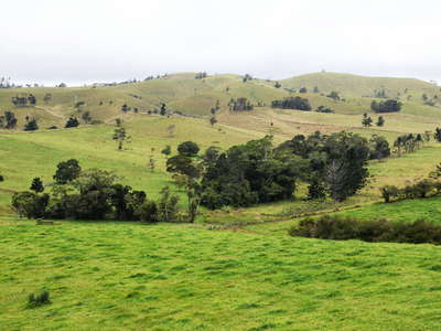 Atherton Tablelands | Pasture land
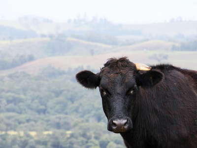 Atherton Tablelands | Unicorn
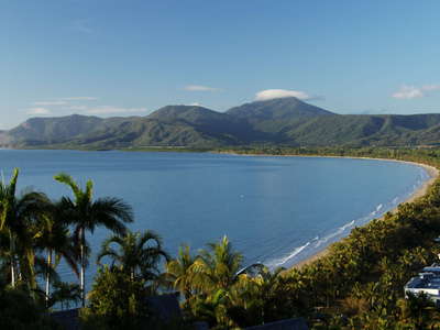 Port Douglas with Four Mile Beach
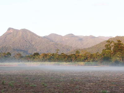 Mossman | Early morning
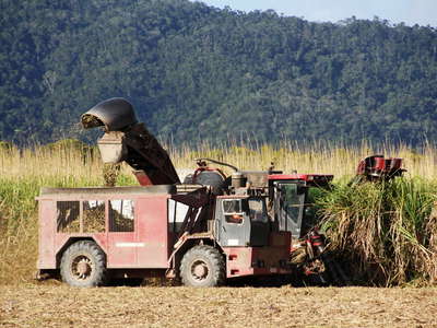 Mossman | Sugar cane harvest
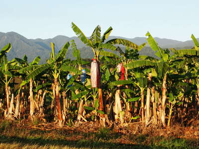 Mossman | Banana cultivation
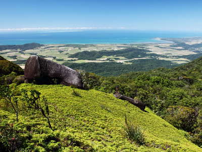 Manjal Jimalji | Coral fern patch with granite outcrop
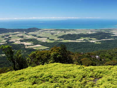 Manjal Jimalji | Coral fern patch and Mossman coast
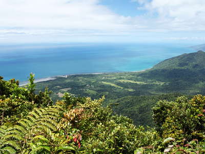 Mt. Sorrow lookout
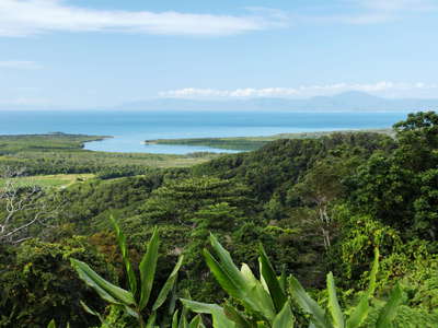 Daintree River mouth
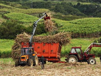 Bras-Panon | Sugar cane harvest
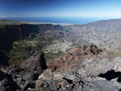 Cirque de Cilaos | Panoramic view
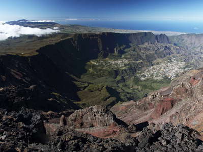 Cirque de Cilaos | Panoramic view
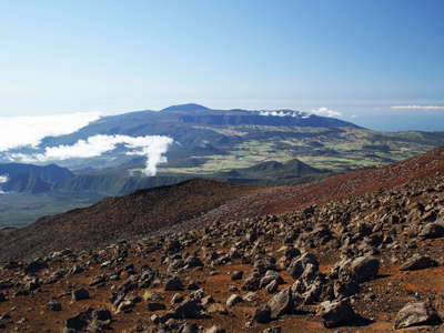 Piton de la Fournaise
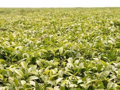 Fort Portal | Tea cultivation
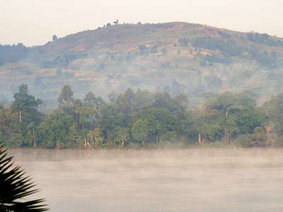 Lake Nyabikere | Morning fog
