Apart from the city of Christchurch, New Zealand's South Island is sparsely populated. Instead, subtropical bays and beaches in the North contrast with glacierized mountain ranges and deeply incised fjords in the south whilst drylands in the east give way to rainforests in the west of this extremely diverse island.

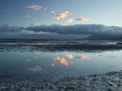 Farewell Spit | Bird Sanctuary
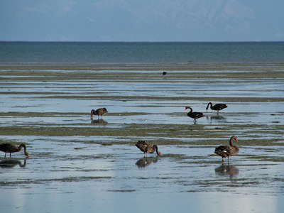 Farewell Spit | Bird Sanctuary
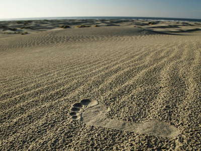 Farewell Spit | In the dunes
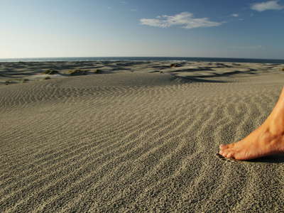 Farewell Spit | In the dunes
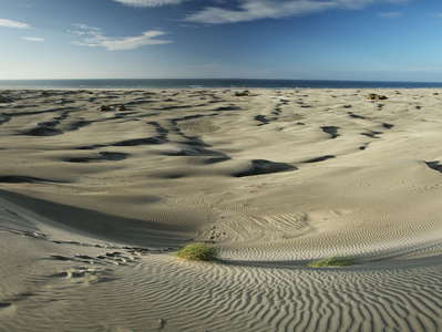 Farewell Spit | Dune field panorama
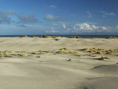 Farewell Spit | In the dunes
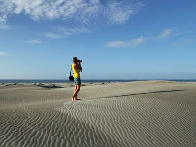 Farewell Spit | In the dunes
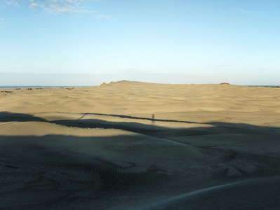 Farewell Spit | Dune field panorama
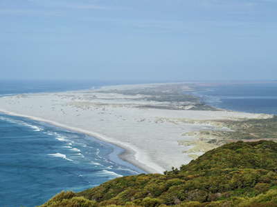 Farewell Spit
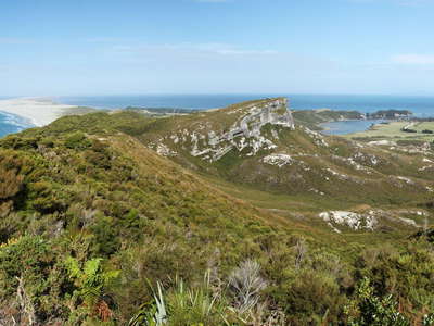 Puponga and Farewell Spit | Panorama
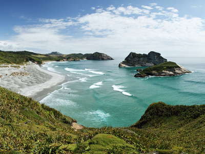 Wharariki Beach | Panorama
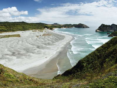 Wharariki Beach | Panorama
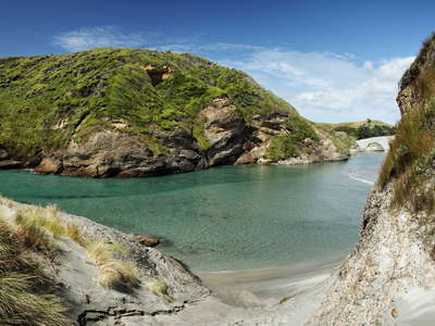 Wharariki Beach | Protected lagoon
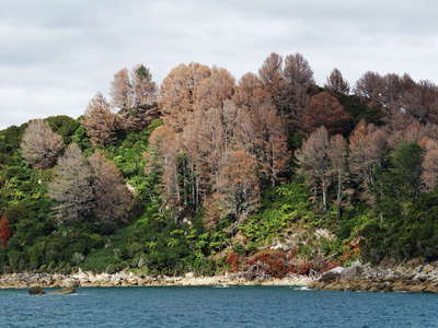 Abel Tasman NP | Poisoned pines
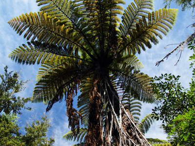 Abel Tasman NP | Tree fern
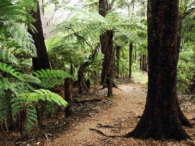 Abel Tasman NP | Black beech forest
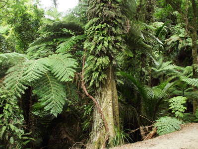 Abel Tasman NP | Subtropical rainforest
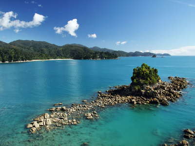 Abel Tasman NP | Rocky island
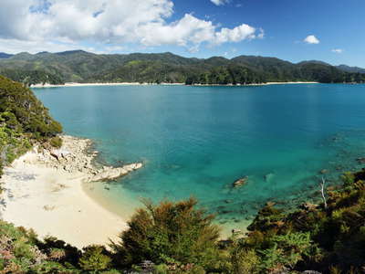 Abel Tasman NP | Panorama
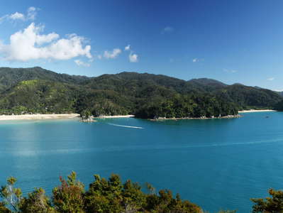 Abel Tasman NP | Panorama
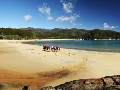 Abel Tasman NP | Panorama of Anchorage Bay
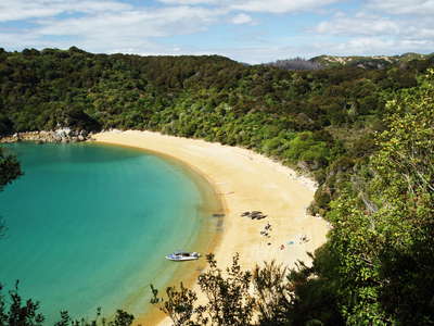 Abel Tasman NP | Te Pukatea Bay
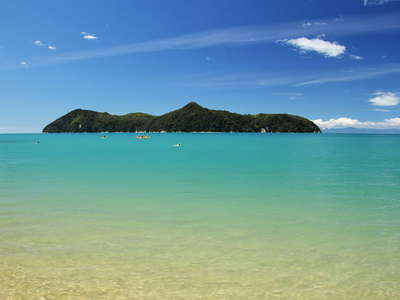 Abel Tasman NP | Adele Island
 Abel Tasman NP | Panorama of Apple Tree Bay
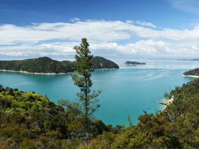 Abel Tasman NP | Adele Island Panorama
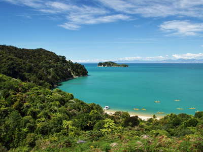 Abel Tasman NP | Coquille Bay
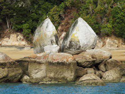 Marahau | Split Apple Rock
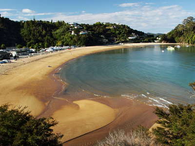 Kaiteriteri | Beach
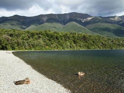 Lake Rotoiti | Kerr Bay with ducks
 Lake Rotoiti | Panorama
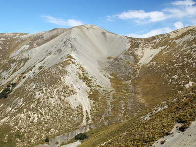 Acheron Rock Avalanche | Release area
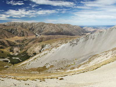 Acheron Rock Avalanche | Panorama
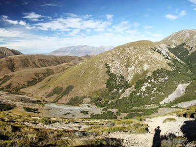 Acheron Rock Avalanche | Panorama
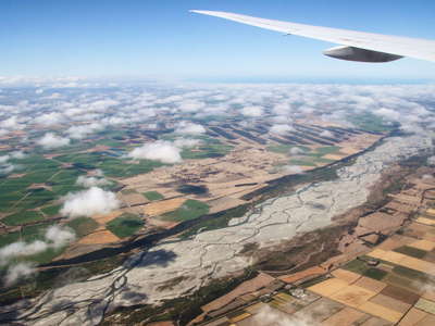 Canterbury Plains with Waimakariri River
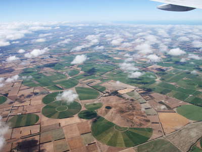 Canterbury Plains with Burnt Hill
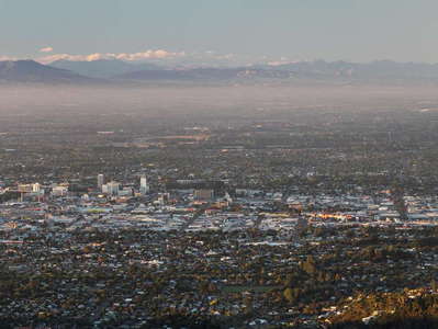 Christchurch | Panorama
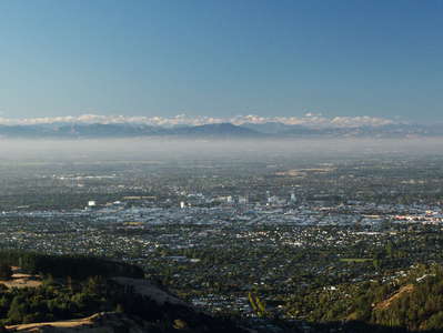 Christchurch | Panorama
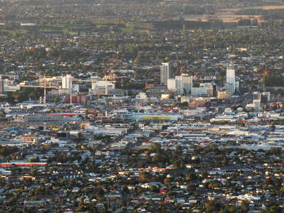 Christchurch | Central City
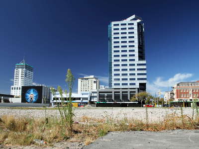 Christchurch | Open space in the Central City
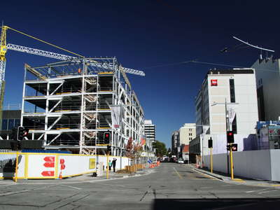 Christchurch | Reconstruction
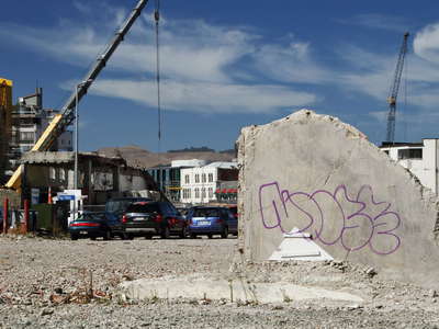 Christchurch | Ruin and reconstruction
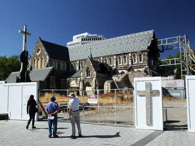 Christchurch | Ruins of the Cathedral
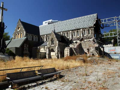 Christchurch | Ruins of the Cathedral
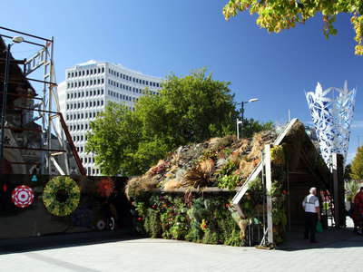 Christchurch | Cathedral Square
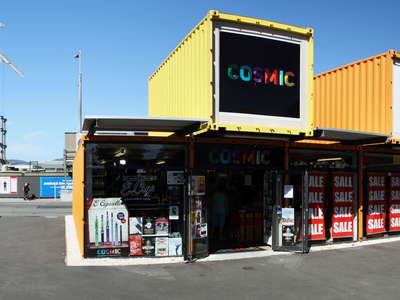 Christchurch | Re:Start Mall
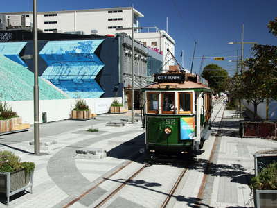 Christchurch | Cashel Street with tramway
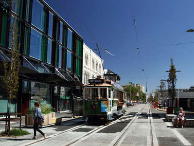 Christchurch | High Street with tramway
 Christchurch | Sumner Beach
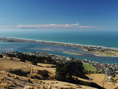 Christchurch | Brighton Spit and Pegasus Bay
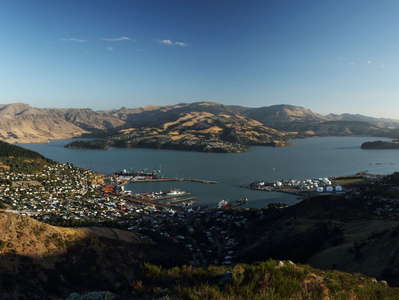 Lyttelton Harbour | Panorama
 Lyttelton Harbour
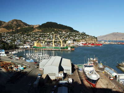 Lyttelton Port
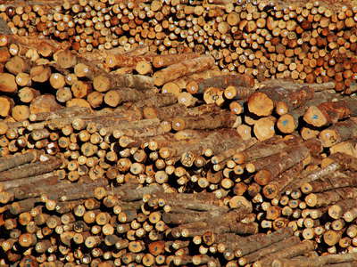 Lyttelton Port | Timber for export
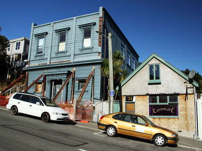 Lyttelton | Kilwinning Lodge
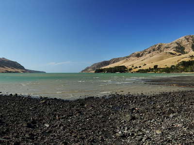 Banks Peninsula | Pigeon Bay with volcanic beach
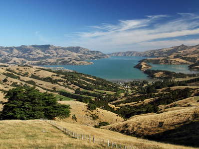 Banks Peninsula | Akaroa Harbour
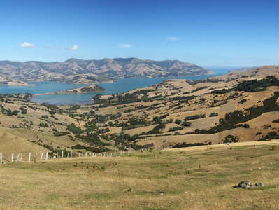 Banks Peninsula | Panorama of Akaroa Harbour
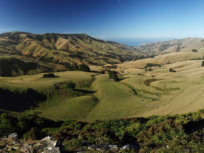 Banks Peninsula | Panorama of Okains Bay
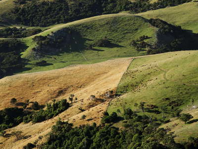 Banks Peninsula | Rangeland
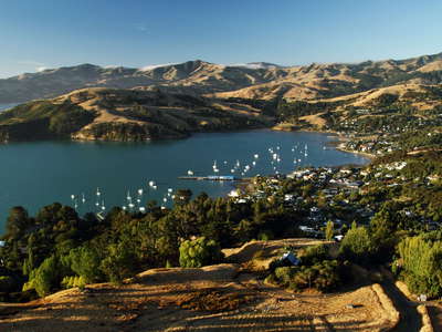 Banks Peninsula | Akaroa
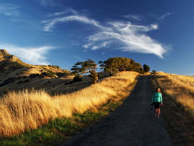 Banks Peninsula | Lighthouse Road
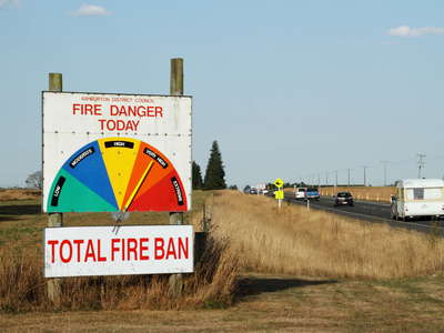 Ealing | Fire danger
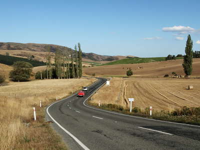 Fairlie | State Highway 79
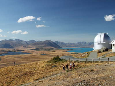 Lake Tekapo | Mt. John Observatory
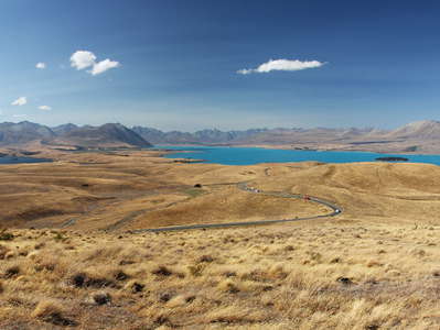 Lakes Alexandrina and Tekapo
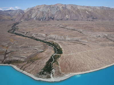 Lake Tekapo with Boundary Stream
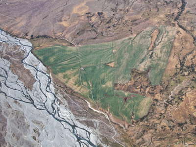 Lilybank | Irrigated land
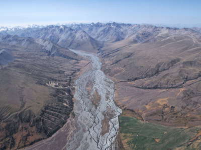 Macaulay Valley
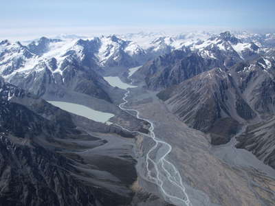 Godley Valley with glacial lakes
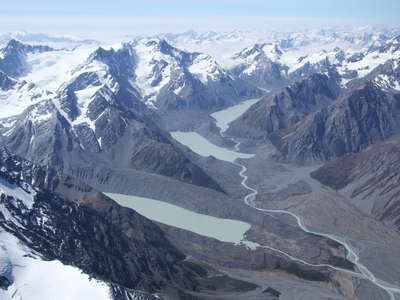 Godley Valley | Glacial lakes
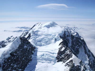 Mt. Elie de Beaumont
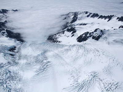 Franz Josef Glacier
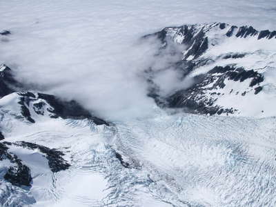 Franz Josef Glacier
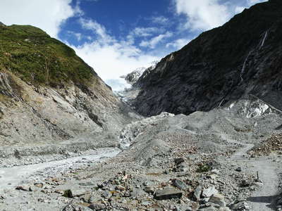 Franz Josef Glacier | Forefield
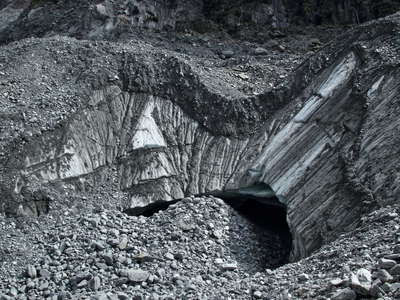 Franz Josef Glacier | Debris-covered ice
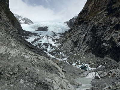 Franz Josef Glacier | Terminus
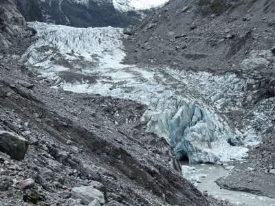 Fox Glacier | Terminus
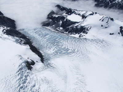 Fox Glacier
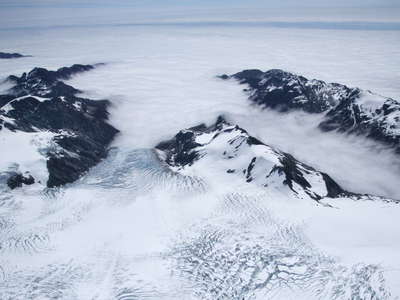 Fox Glacier
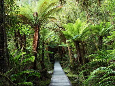 Lake Matheson | Temperate rainforest
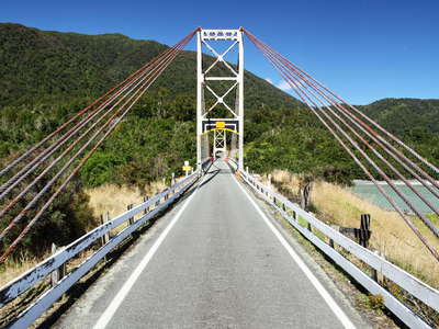 Karangarua River | Suspension bridge
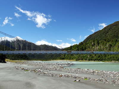 Karangarua River with suspension bridge
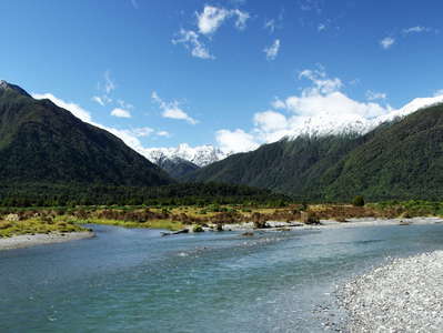 Mahitahi River
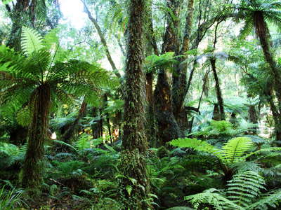 Lake Moeraki | Temperate rainforest
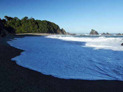 Monro Beach
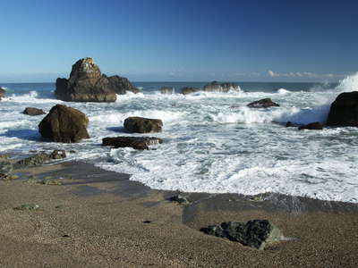 Monro Beach
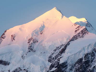 Aoraki / Mt. Cook
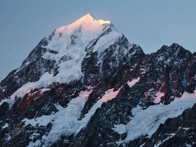 Aoraki / Mt. Cook
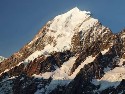 Aoraki / Mt. Cook
 Hooker Lake with Aoraki / Mt. Cook
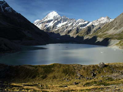 Hooker Lake and Aoraki / Mt. Cook
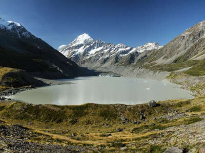 Hooker Lake and Aoraki / Mt. Cook
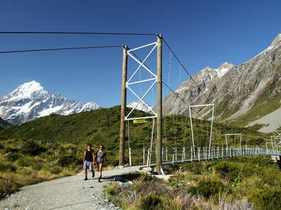 Hooker Valley | Suspension bridge
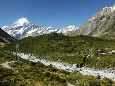 Hooker Valley with suspension bridge
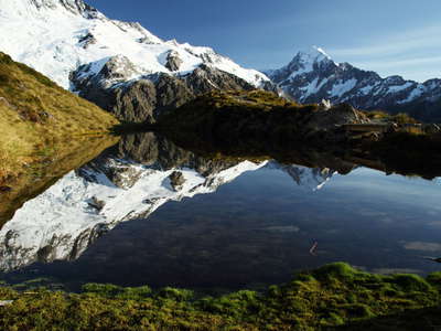 Sealy Tarns | Reflections
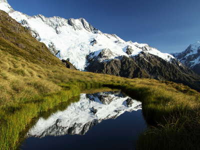 Sealy Tarns | Reflections
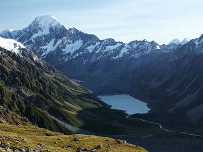 Aoraki / Mount Cook and Hooker Lake
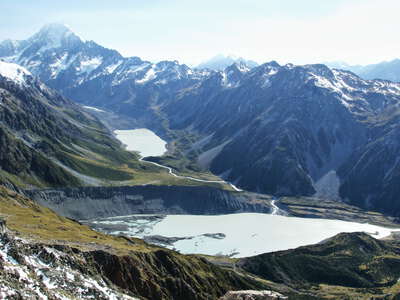 Mueller Lake and Hooker Lake with Aoraki / Mt. Cook
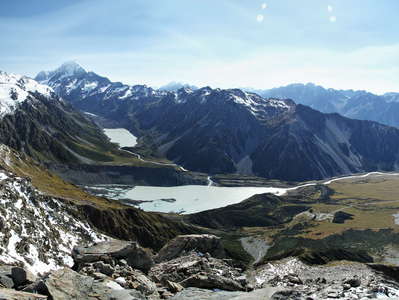 Aoraki / Mt. Cook NP | Panorama
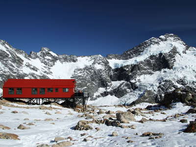 Mueller Hut and Mt. Sefton
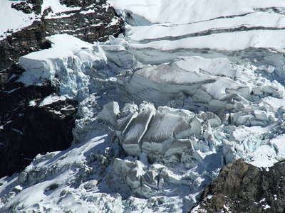 Mueller Glacier
 Mt. Sefton and The Footstool | Sunrise
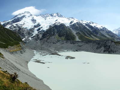 Mt. Sefton and Mueller Lake
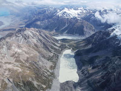 Hooker Lake
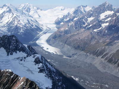 Tasman Glacier
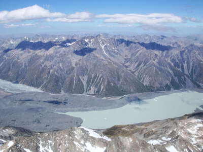 Tasman Glacier and Tasman Lake
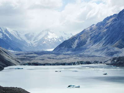 Tasman Lake and Tasman Glacier
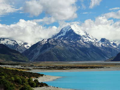 Lake Pukaki and Aoraki / Mt. Cook
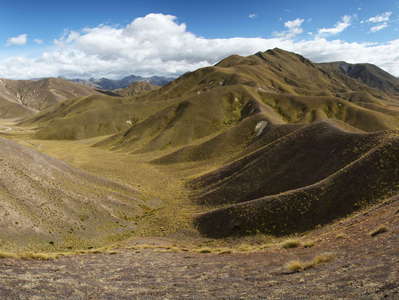 Lindis Pass | Panorama
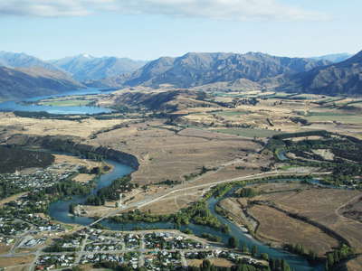 Albert Town and Lake Wanaka
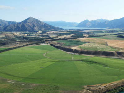 Albert Town | Irrigated land
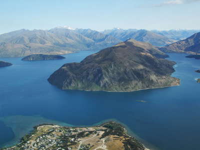 Lake Wanaka
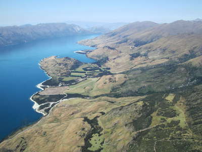 Lake Wanaka
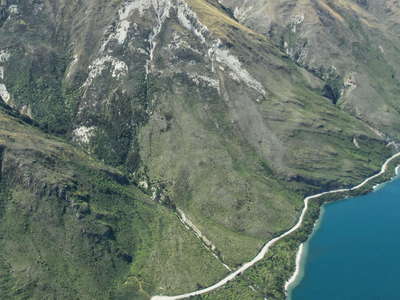 Lake Wanaka with landslide
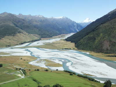 Makarora | Braided river systems
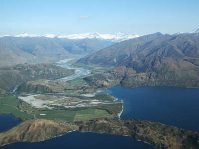 Lake Wanaka and Matukituki Valley
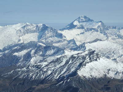 Rob Roy Peak and Mt. Aspiring / Tititea
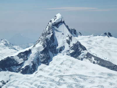 Mt. Aspiring / Tititea
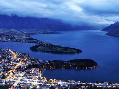 Queenstown and Lake Wakatipu | Night panorama
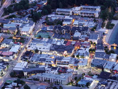 Queenstown | Town centre
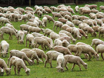 Parawa | Sheep
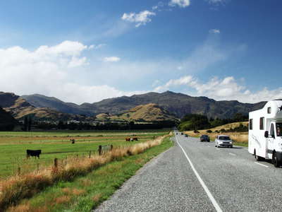 Queenstown | State Highway 6
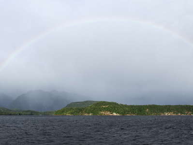 Lake Manapouri | Panorama with rainbow
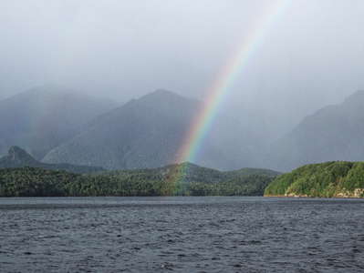 Lake Manapouri with rainbow
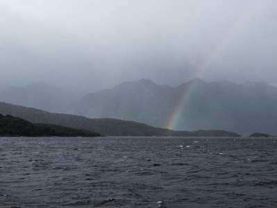 Lake Manapouri with rainbow
 Doubtful Sound / Patea | Crooked Arm
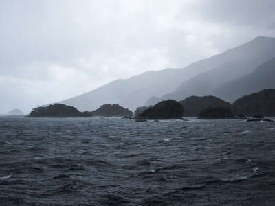 Doubtful Sound / Patea | Shelter Islands
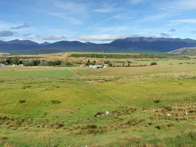 Te Anau Downs | Farmland and Livingston Mountains
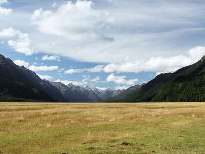 Fiordland NP | Eglinton Valley
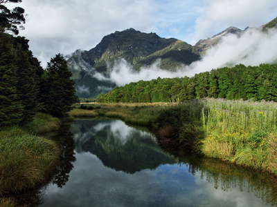 Fiordland NP | Eglinton Valley
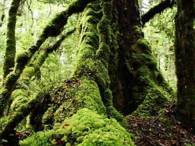 Fiordland NP | Temperate rainforest
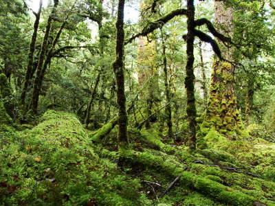 Fiordland NP | Temperate rainforest
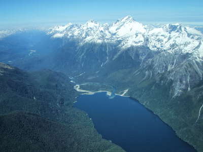 Hollyford Valley with Lake McKerrow
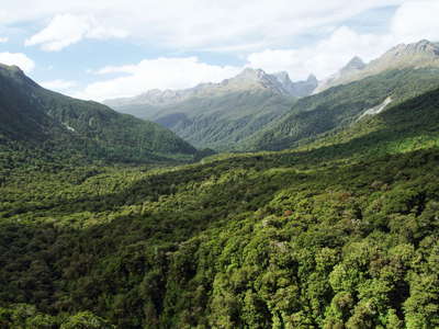 Fiordland NP | Hollyford Valley
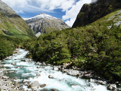 Fiordland NP | Hollyford River
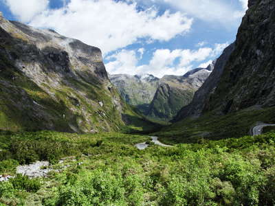 Fiordland NP | Cleddau Valley
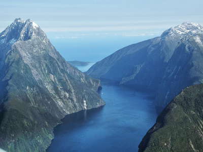 Milford Sound / Piopiotahi
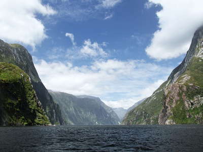 Milford Sound / Piopiotahi
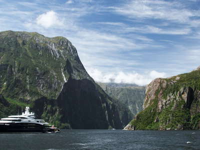 Milford Sound / Piopiotahi
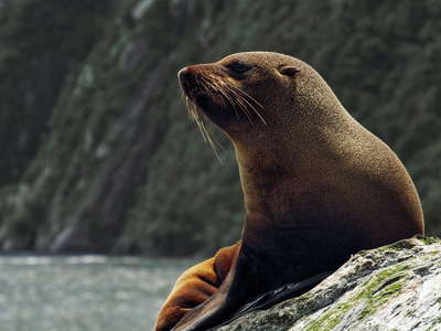 Milford Sound / Piopiotahi | Southern Fur Seal
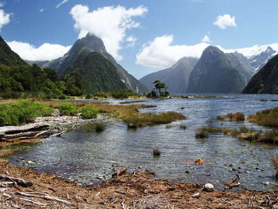 Milford Sound / Piopiotahi | High tide
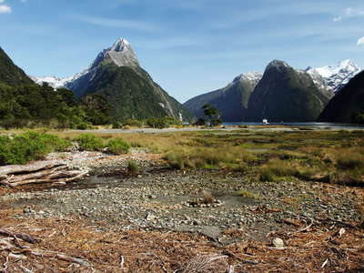 Milford Sound / Piopiotahi | Low tide
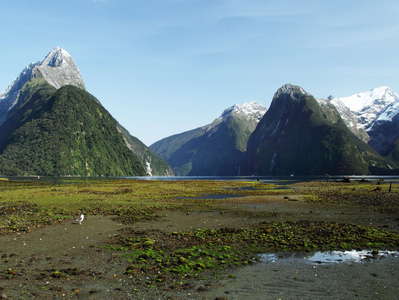 Milford Sound / Piopiotahi at low tide
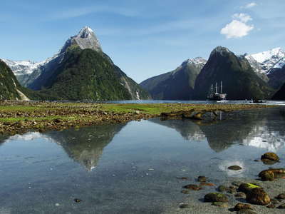 Milford Sound / Piopiotahi | Reflections
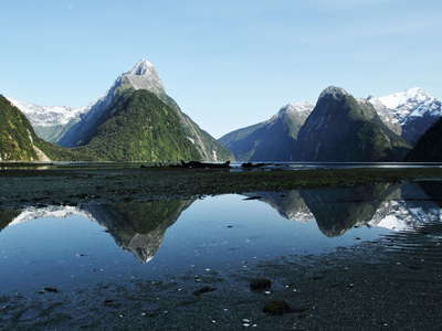 Milford Sound / Piopiotahi | Reflections
