
 Georgia | Khertvisi
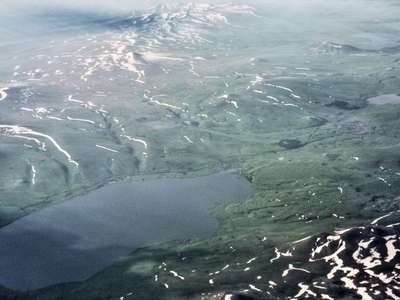 Georgia | Tba Paravani
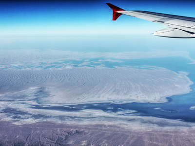 Turkmenistan | Caspian Sea
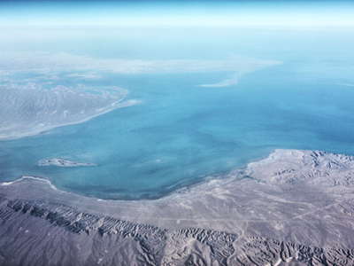 Turkmenistan | Caspian Sea
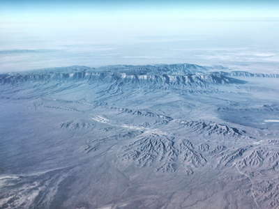 Turkmenistan | Balhan Mountains
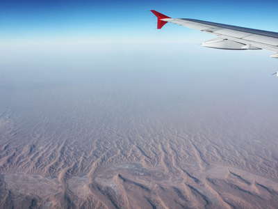 Turkmenistan | Karakum Desert
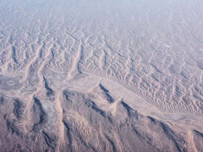 Turkmenistan | Karakum Desert
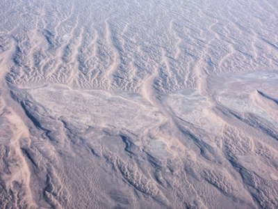 Turkmenistan | Karakum Desert
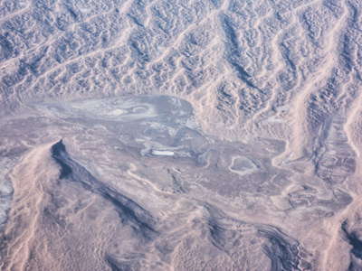 Turkmenistan | Karakum Desert
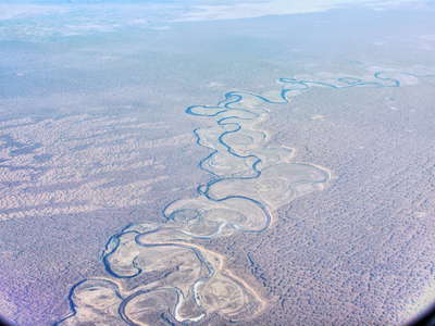 Turkmenistan | Uzboj River
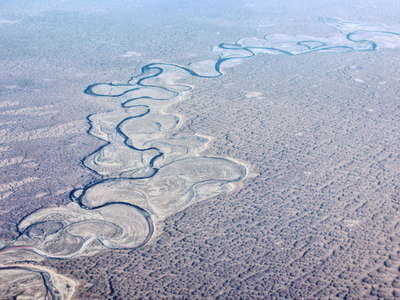 Turkmenistan | Uzboj River
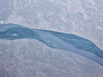 Turkmenistan and Uzbekistan | Amudarya River
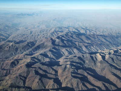 Afghanistan | Hindukush Mountains
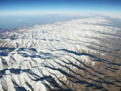 Afghanistan | Hindukush Mountains
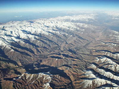 Afghanistan | Hindukush Mountains
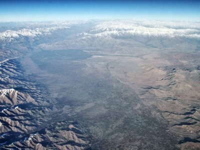 Afghanistan | Kabul Valley with Hindukush
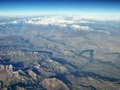 Afghanistan | Naghlo Reservoir with Hindukush
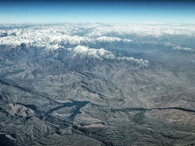 Afghanistan | Naghlo Reservoir with Hindukush
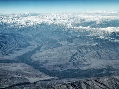 Afghanistan | Laghman with Hindukush
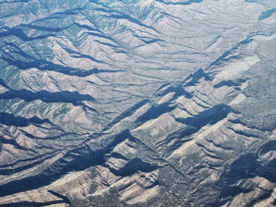 Pakistan | Kalaya
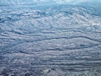 Pakistan | Dome near Shadi Pur
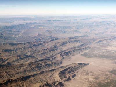 Pakistan | Kirthar Range and Indus Plain
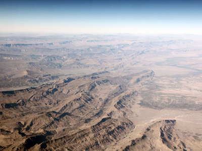 Pakistan | Kirthar Range and Indus Plain
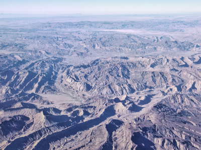 Pakistan | Kirthar Range
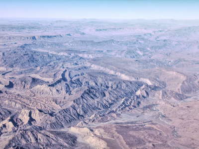 Pakistan | Kirthar Range
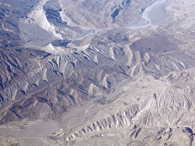 Pakistan | Kirthar Range near Karkh
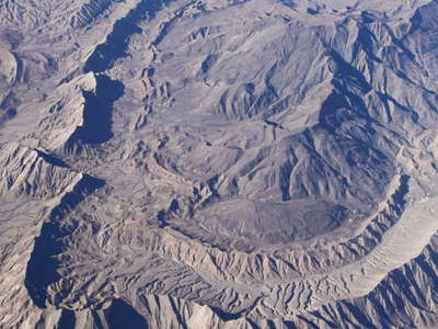 Pakistan | Kirthar Range near Khuzdar
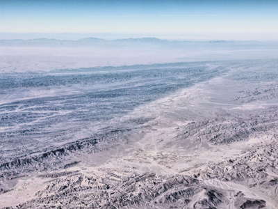 Pakistan | Siahan Range and Sandy Desert
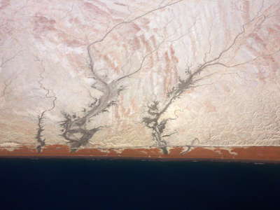 Iran | Coastal area near Cah Bahar
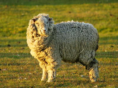 San Sebastián | Sheep
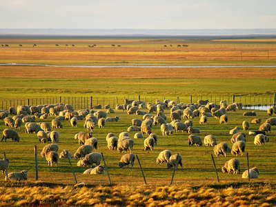 San Sebastián | Sheep farm
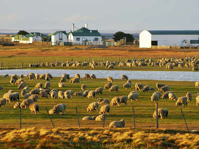 San Sebastián | Sheep farm
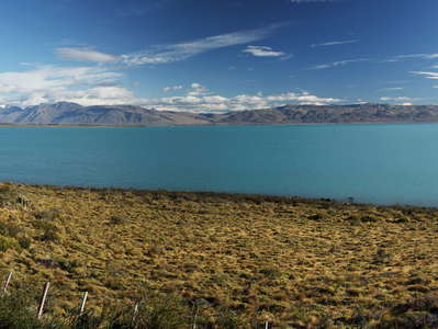 Lago Argentino
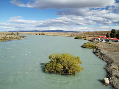 Río La Leona
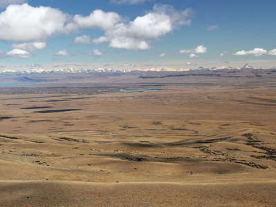 Río Santa Cruz valley with Lago Argentino and Cordillera
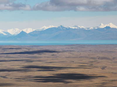 Lago Argentino and Cordillera
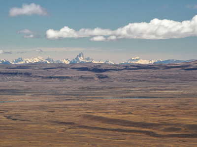 Río Santa Cruz Valley and Cordillera
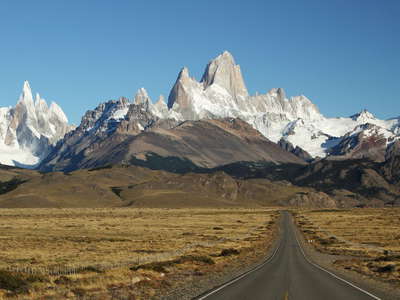 PN Los Glaciares | Cerro Torre and Monte Fitz Roy
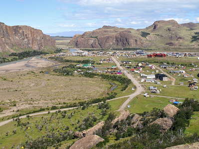 PN Los Glaciares | El Chaltén
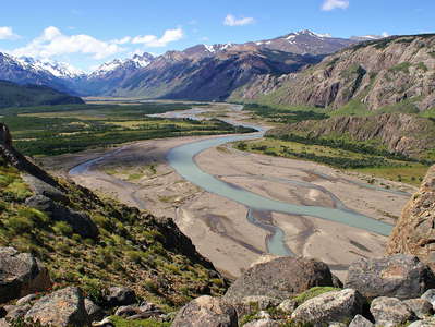 PN Los Glaciares | Río de las Vueltas
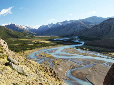 PN Los Glaciares | Río de las Vueltas
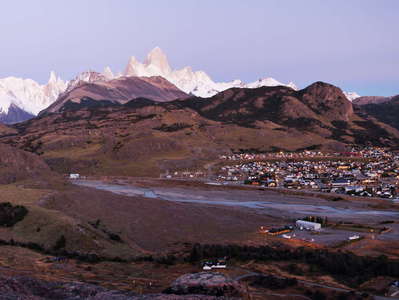 PN Los Glaciares | El Chaltén before sunrise
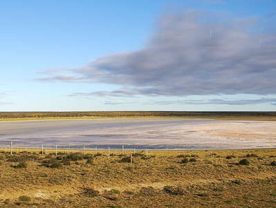 Santa Cruz | Salt flat
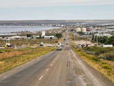 Puerto Madryn
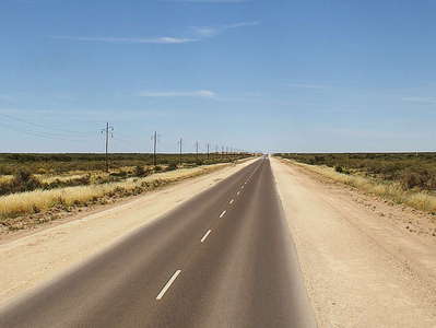 Río Negro | Ruta Nacional 3
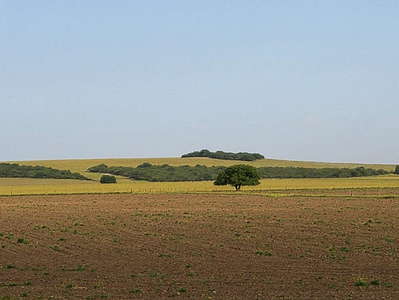 Buenos Aires | Pampa
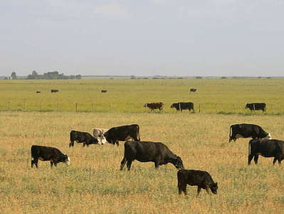 Buenos Aires | Pampa with cattle
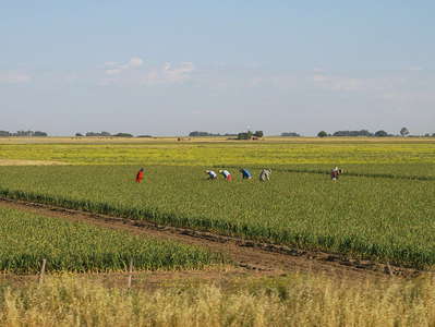 Buenos Aires | Harvest in the pampa
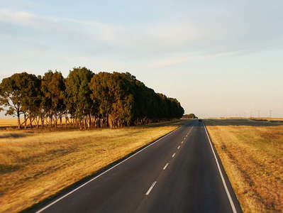 Buenos Aires | Pampa
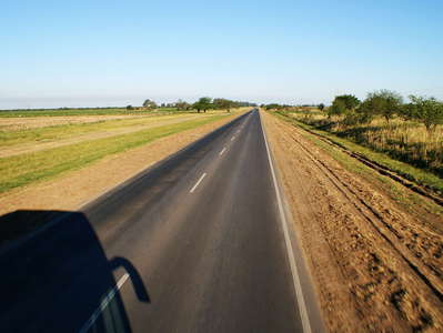 Córdoba | Pampa
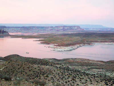 Page | Lake Powell
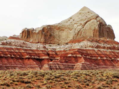 Paria (Utah) | Rock formation
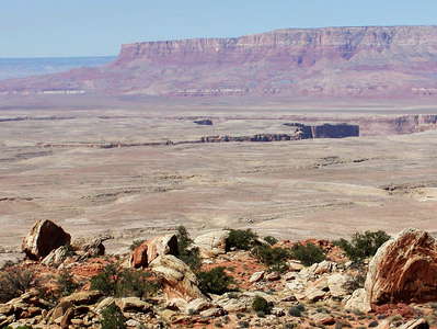 Kaibab Plateau with Vermilion Cliffs and Marble Canyon
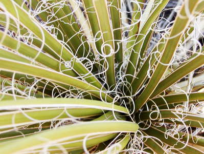 Colorado Plateau | Yucca
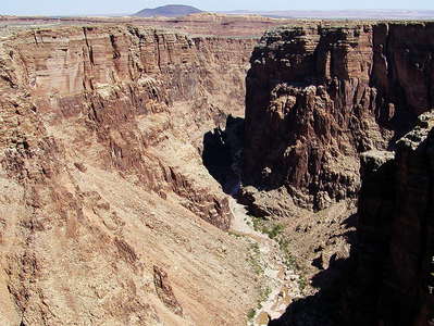 Little Colorado River Gorge
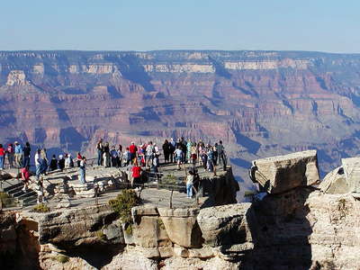 Grand Canyon
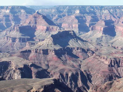 Grand Canyon
 Grand Canyon
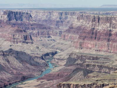 Grand Canyon
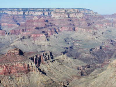 Grand Canyon
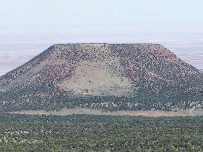 Colorado Plateau with outlier
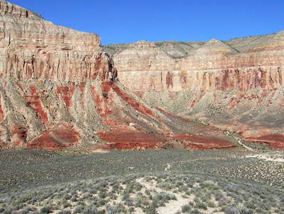 Havasu Canyon | Hualapai Canyon
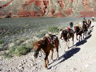 Havasu Canyon | Mules
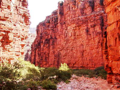 Havasu Canyon | Hualapai Canyon
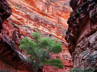 Havasu Canyon | Hualapai Canyon
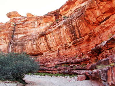 Havasu Canyon | Hualapai Canyon
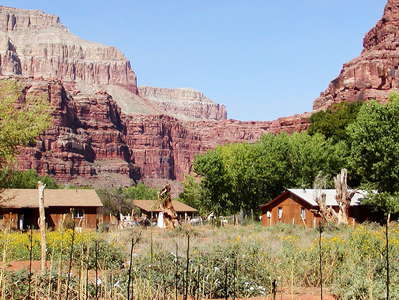 Havasu Canyon | Supai
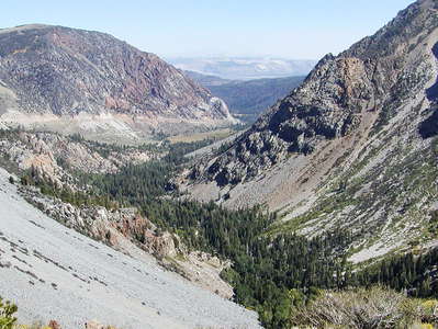 Yosemite NP | Tioga Pass
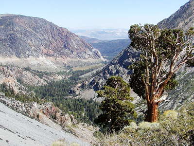 Yosemite NP | Tioga Pass
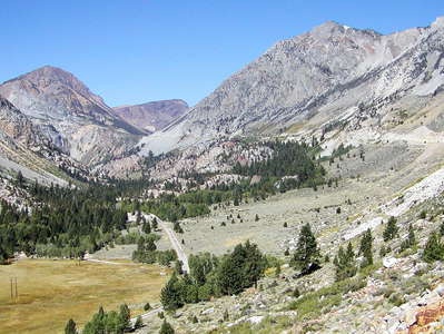 Yosemite NP | Tioga Pass
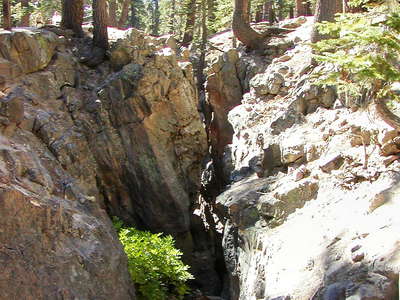 Mammoth Lakes | Earthquake Fault
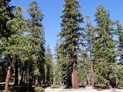 Mammoth Lakes | Red fir forest
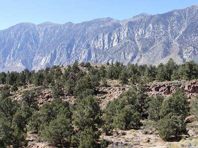 Sherwin Grade | Pinyon-juniper woodland
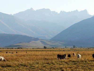 Sierra Nevada with Sawtooth Ridge
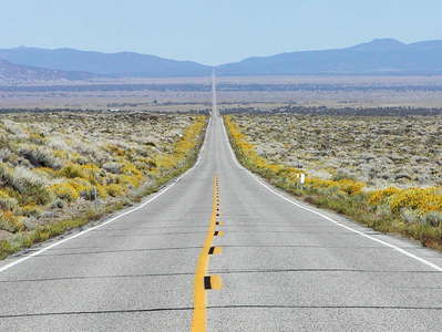 Mono County | State Route 167
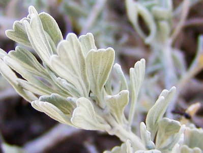 Mammoth Lakes | Sage brush
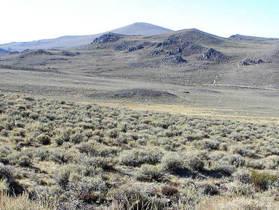 Bodie Hills | Sage brush scrub
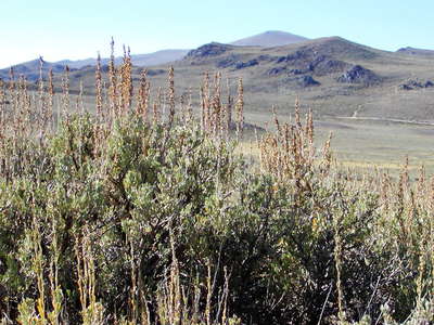 Bodie Hills | Sage brush
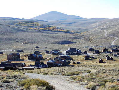 Bodie Hills with Bodie
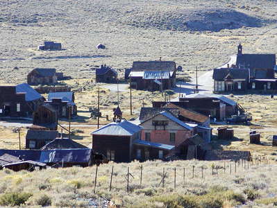 Bodie | Green Street
 Bodie | Standard Consolidated Mining Company Stamp Mill
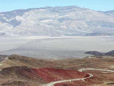 Panamint Valley
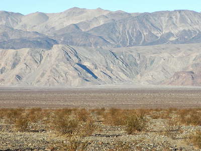 Panamint Valley | Creosote bush scrub
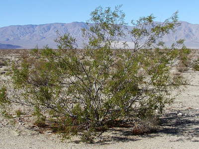 Panamint Valley | Creosote bush
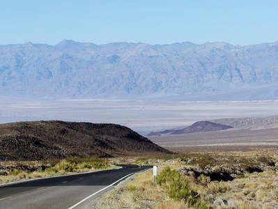 State Route 190 towards Death Valley
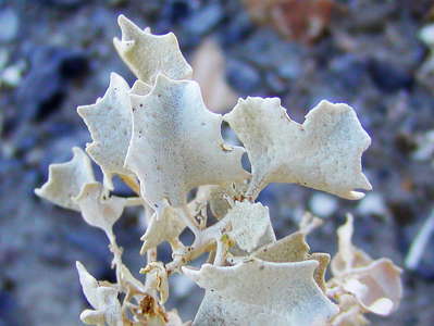 Death Valley | Desert holly
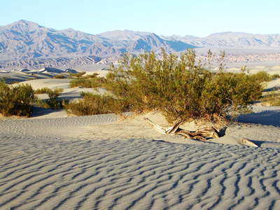 Death Valley | Dune field with nabkha
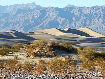 Death Valley | Dune field with nabkha
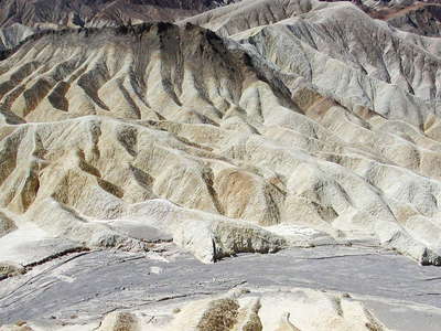 Death Valley | Zabriskie Point
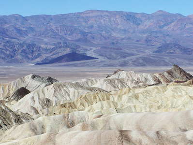 Death Valley | Zabriskie Point
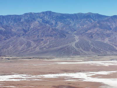 Death Valley with Telescope Peak
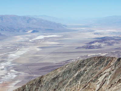 Death Valley panorama
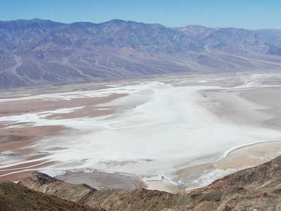 Death Valley | Badwater Basin
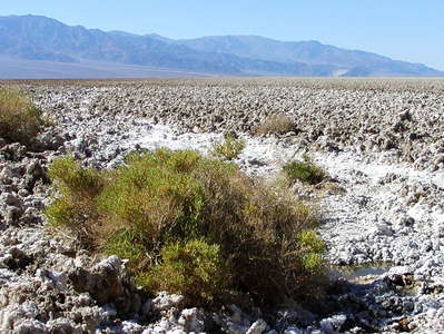 Death Valley | Devil's Golf Course
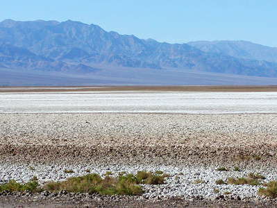 Death Valley | Devil's Golf Course
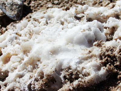 Death Valley | Devil's Golf Course
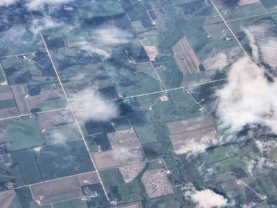 Alberta | Farmland
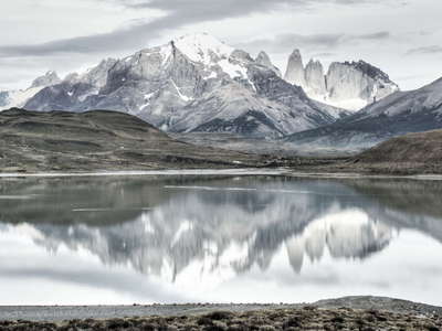 PN Torres del Paine | Laguna Amarga and Cordillera del Paine
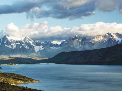 PN Torres del Paine | Laguna del Toro and Cordillera del Paine
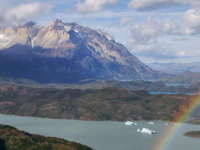 PN Torres del Paine | Lago Grey and Cuernos del Paine
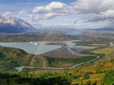 PN Torres del Paine | Lago Grey and Cuernos del Paine
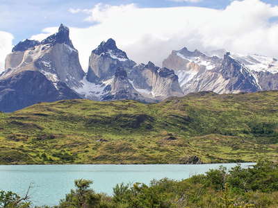 PN Torres del Paine | Cuernos del Paine
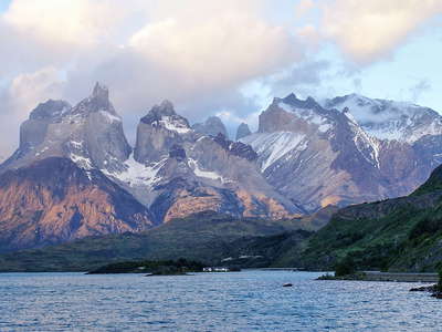 PN Torres del Paine | Lago Pehoe and Cuernos del Paine
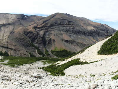 PN Torres del Paine | Valley of Río Ascensio
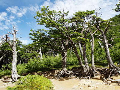 PN Torres del Paine | Southern beech forest
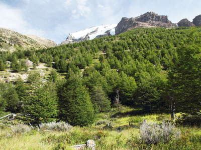 PN Torres del Paine | Southern beech forest
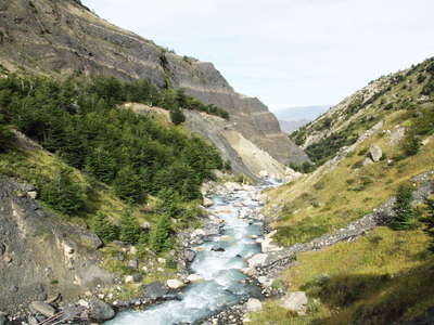 PN Torres del Paine | Río Ascensio
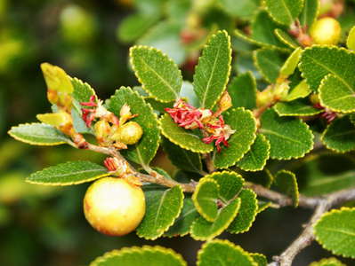 PN Torres del Paine | Magellan's beech
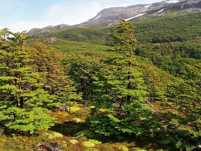 PN Torres del Paine | Lenga beech
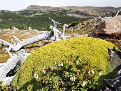 PN Torres del Paine | Cushion plant
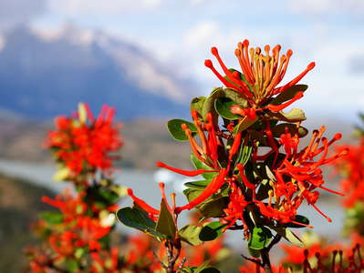 PN Torres del Paine | Chilean firebush
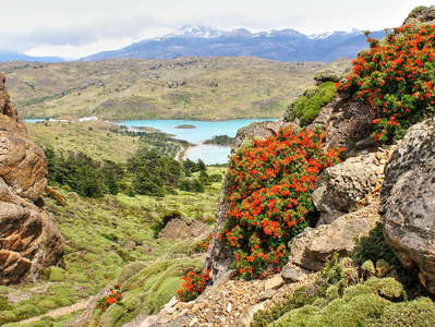 PN Torres del Paine | Chilean firebush
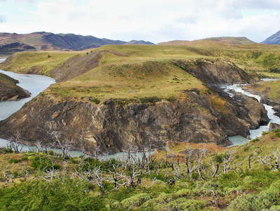 PN Torres del Paine | Río Paine with rapids
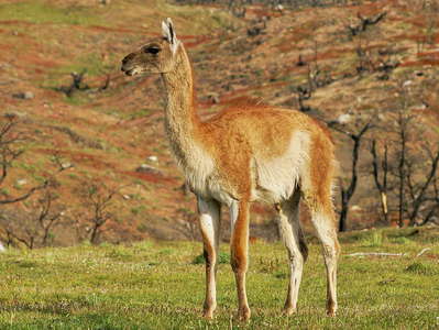 PN Torres del Paine | Guanaco
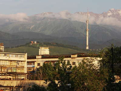 Almaty with Zailiysky Alatau Range
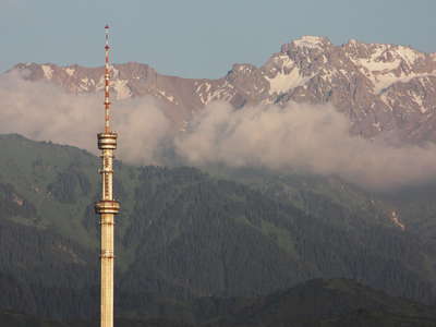 Almaty Tower with Zailiysky Alatau Range
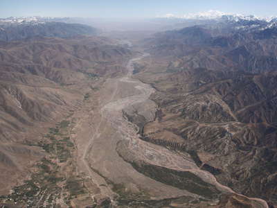 Chan-Alai Valley
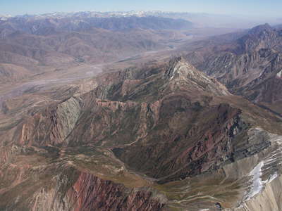 Chan-Alai Valley
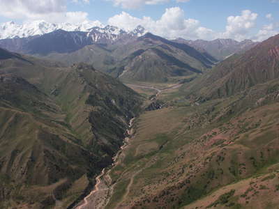 Trans Alai Range
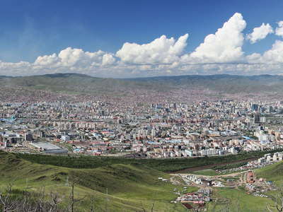 Ulaan Baatar | Panorama
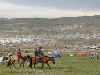 Songino Khairkhan | Naadam Festival
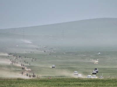 Songino Khairkhan | Horse race at Naadam Festival
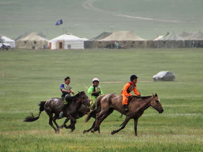 Songino Khairkhan | Horse race at Naadam Festival
 Songino Khairkhan | Horse race at Naadam Festival
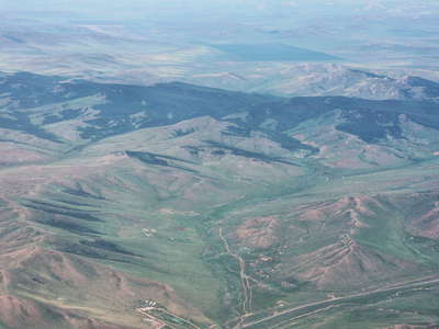 Steppe and forest
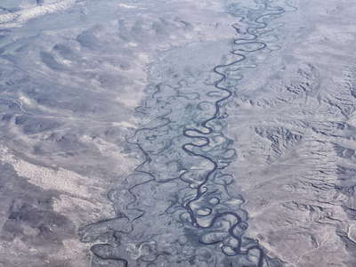 Lün | Tuul River
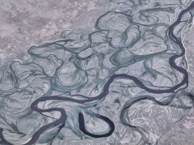 Lün | Tuul River
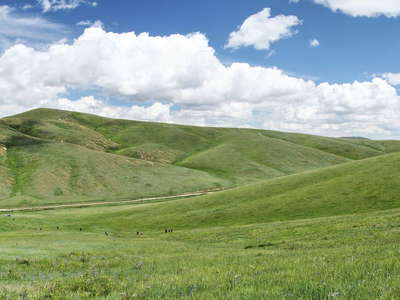 Khustayn Uul National Park | Tourists and Przewalski horses
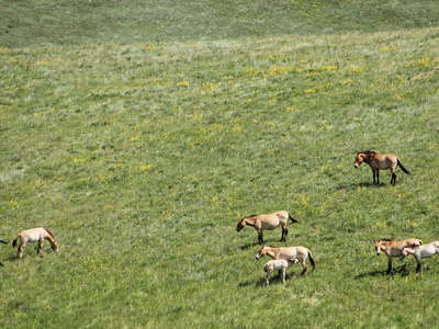 Khustayn Uul National Park | Przewalski horses
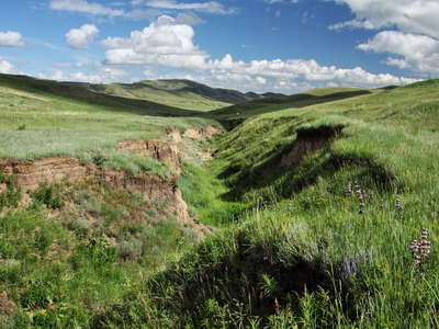 Khustayn Uul National Park | Gully erosion
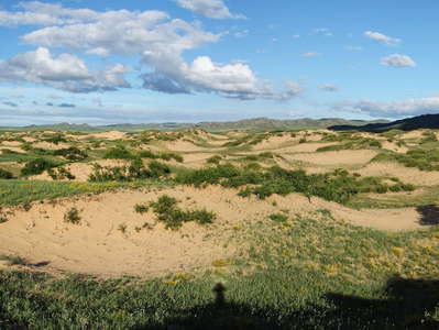 Khustayn Uul National Park | Vegetated dune field
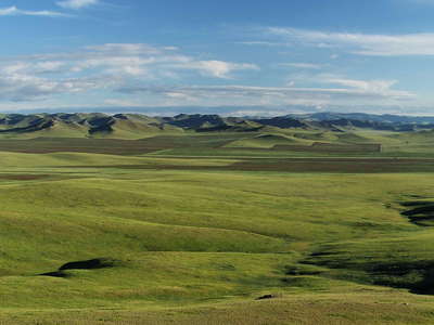 Steppe panorama
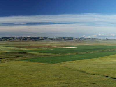 Steppe panorama
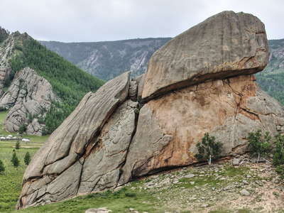 Gorkhi Terelj National Park | Turtle Rock
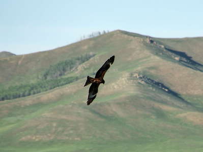 Bird of prey
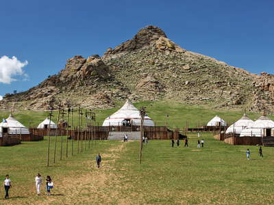 13th Century National Park | Touristic ger camp
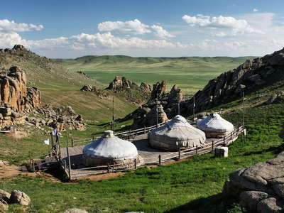 13th Century National Park | Ger camp and granitic outcrops
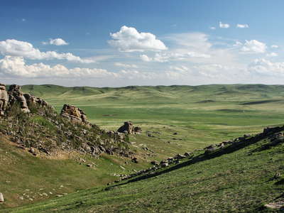 13th Century National Park | Panorama
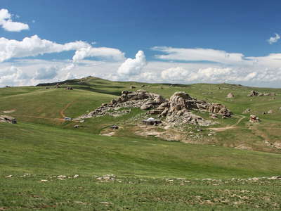 13th Century National Park | Panorama
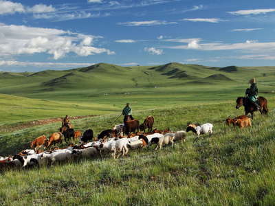 Erdene | Livestock with herders
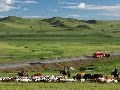 Erdene | Steppe with livestock and tourists
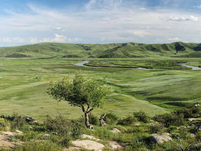 Orkhon Valley | Panorama
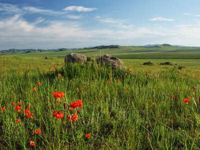 Steppe with lily
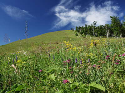 Steppe with birch forest
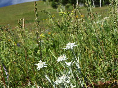 Steppe with edelweiss
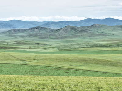 Bornuur | Agricultural fields
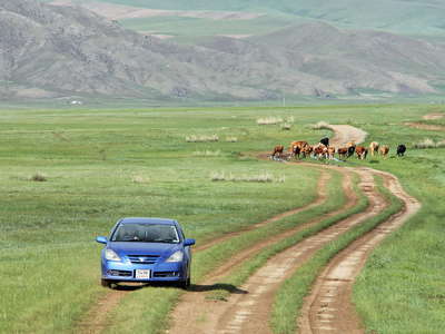 Bornuur | Rural traffic
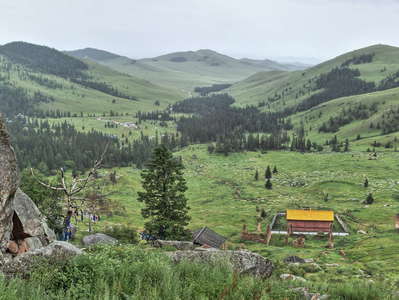 Zuunmod | Panorama of Mandshir Khiid
 Mongol Els | Granite formation
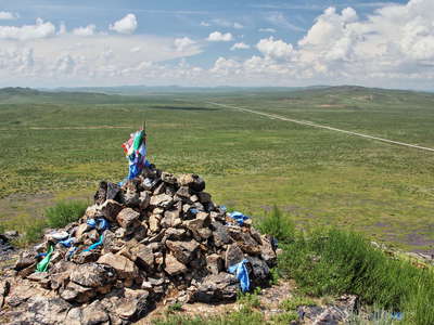 Ovoo
Ovoo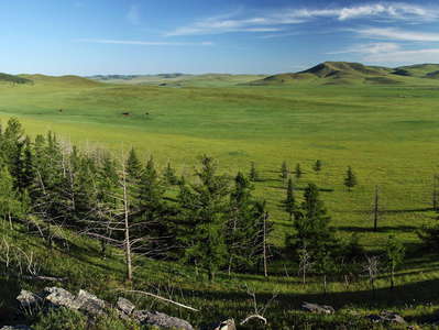 Khotont | Steppe and forest patch
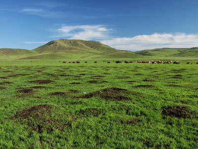 Khotont | Hummocks
 Khotont | Steppe with Chinese delphinium
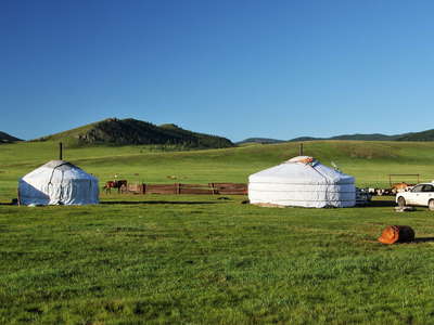 Khotont | Summer camp
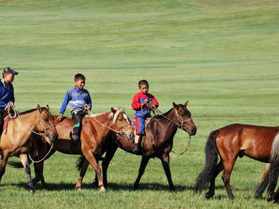 Khotont | Rural life
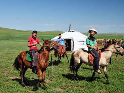 Khotont | Rural life
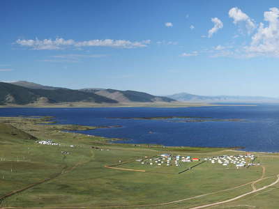 Terkhiin Tsagaan Nuur | Panorama
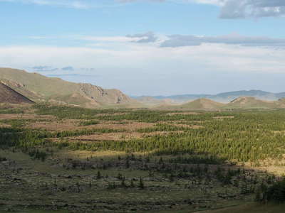 Khorgo Volcano | Panorama
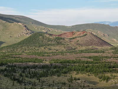 Khorgo Volcano
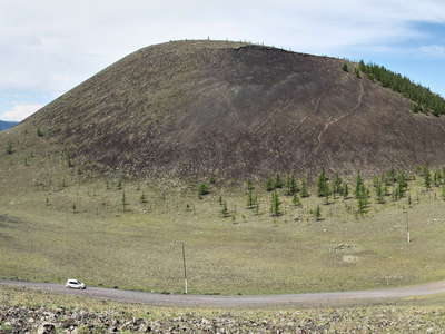 Khorgo Volcano
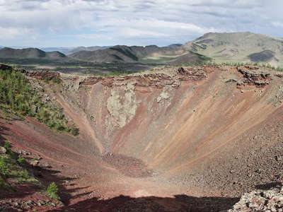 Khorgo Volcano | Central crater
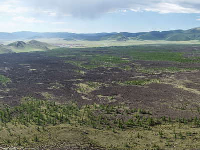 Khorgo Volcano | Lava flows
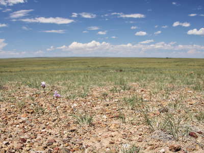 Gobi | Dry steppe
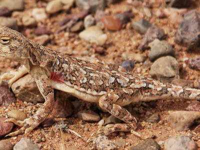 Gobi | Camouflage
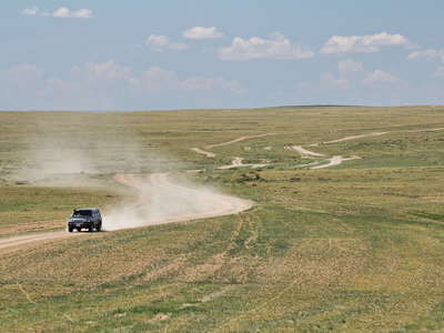 Gobi | Dry steppe with rural traffic
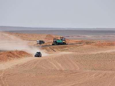 Gobi | Road construction
 Ongiin Khiid | Panorama with destroyed monastery
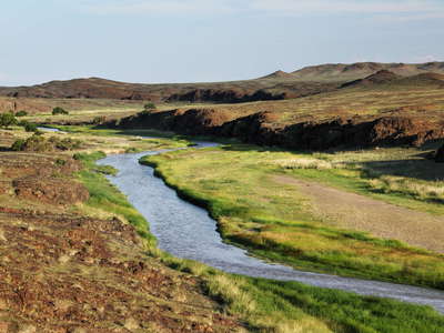 Ongiin Khiid | Ongiin River
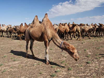 Gobi | Bactrian camels
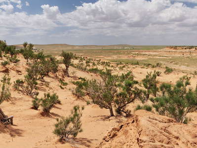 Bayanzag | Fossil dune with saxaul
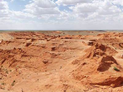 Bayanzag | Panorama of rock formation
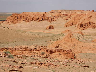 Bayanzag | Rock formation
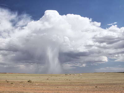 Bayanzag | Rain shower
 Gobi | Steppe with rural traffic
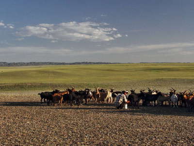 Gobi | Steppe with livestock
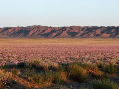 Gobi | Onion steppe
 Gurvan Saykhan Mountains | Panorama
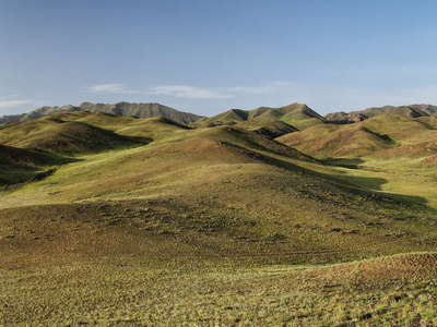 Gurvan Saykhan Mountains | Panorama
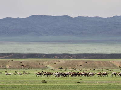 Gurvan Saykhan Mountains | Bactrian camels
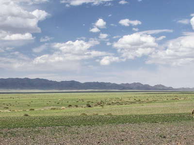 Gurvan Saykhan Mountain | Horses
 Khongoryn Els | Dune field
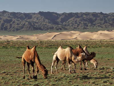 Khongoryn Els | Dune field with Bactrian camels
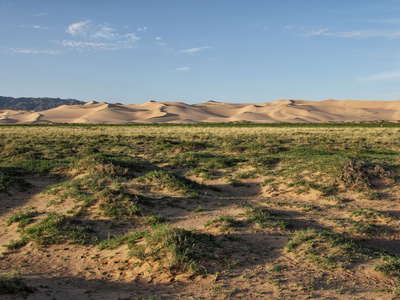 Khongoryn Els | Vegetated hummocks and dune field
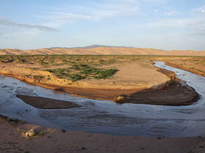 Khongoryn Els | River and dune field
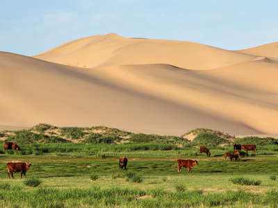 Khongoryn Els | Dune field with cattle
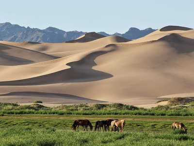 Khongoryn Els | Dune field with horses
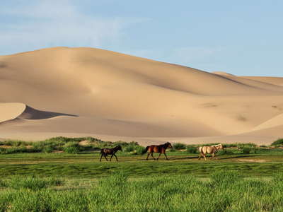 Khongoryn Els | Dune field with horses
 Khongoryn Els | Dune field with cattle and horses
 Khongoryn Els | Dune field
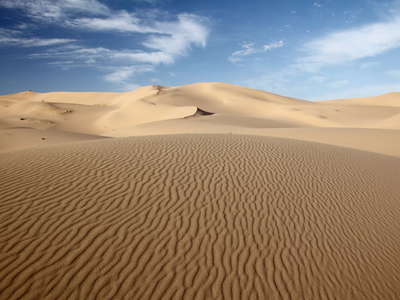 Khongoryn Els | Dune field
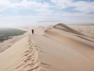 Khongoryn Els | In the dune field
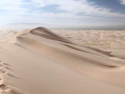 Khongoryn Els | Dune field panorama
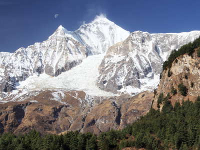 Dhaulagiri east face
 Kali Gandaki Valley and Dhaulagiri northeast face
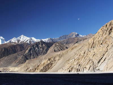 Kali Gandaki Valley with Jomsom and Dhaulagiri
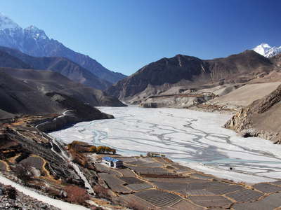 Kali Gandaki Valley and Nilgiri
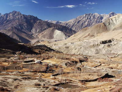 Jhong Khola Valley with farmalnd
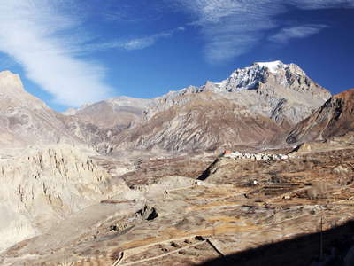 Jhong Khola Valley with Jharkot
 Jorsalle | Suspension bridge
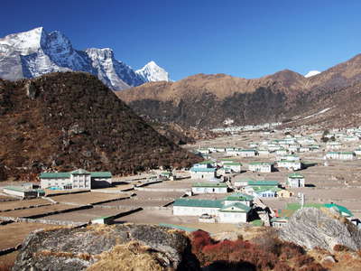 Khumjung and Kongde Ri
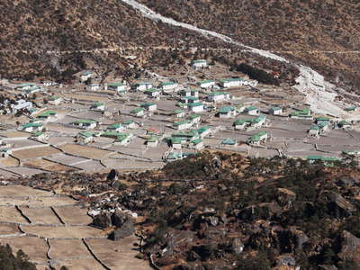 Kunde with debris flow
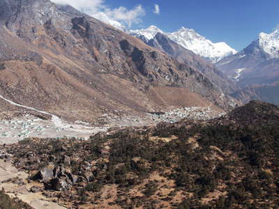 Kunde and Khumjung with rock slide deposit
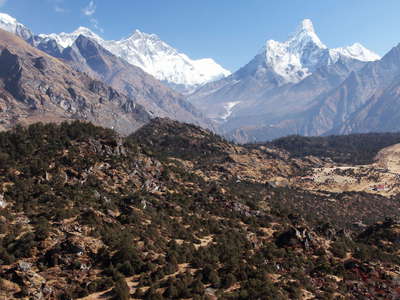 Kunde and Khumjung | Rock slide deposit
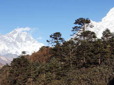 Tengboche | Mountain forest with rhododendron
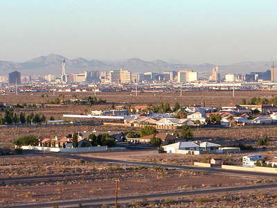 Las Vegas panorama
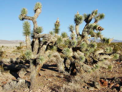 Pahrump Valley | Joshua trees
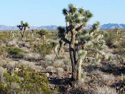 Pahrump Valley | Joshua trees
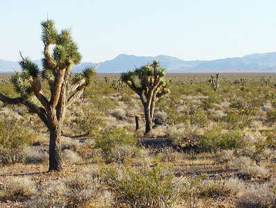 Pahrump Valley | Joshua trees
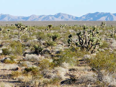 Pahrump Valley with Joshua trees
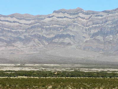 Amargosa Valley
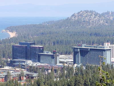 Stateline and Lake Tahoe
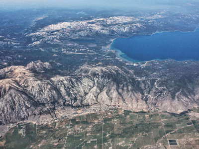 Carson Valley and Lake Tahoe
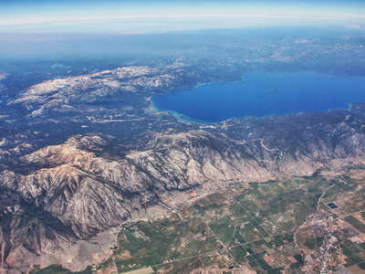 Carson Valley and Lake Tahoe
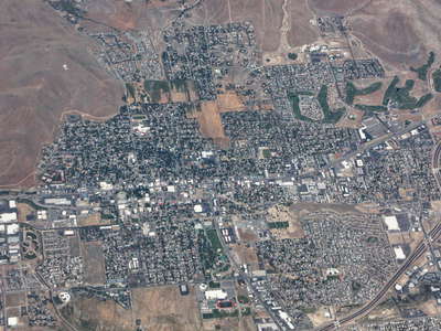 Carson City
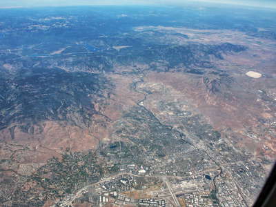 Reno and Sierra Nevada
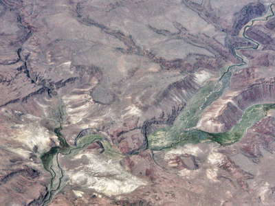 High Rock Canyon
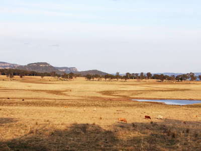 Capertee | Cattle farm and Blue Mountains
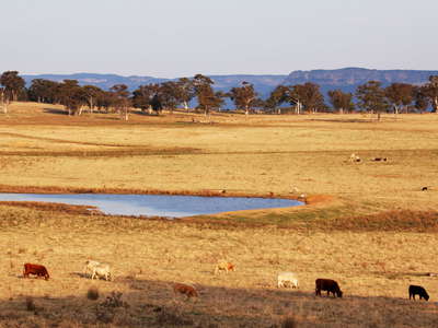 Capertee | Cattle farm and Blue Mountains
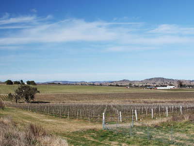 Gulgong | Grape cultivation
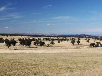 Birriwa | Farmland
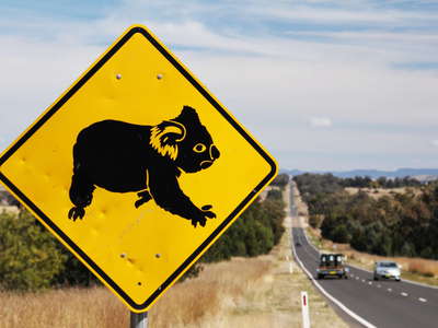 Gunnedah | Koala sign
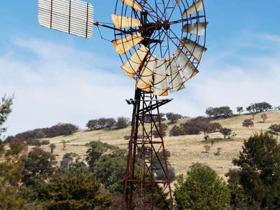 Coolah | Windmill
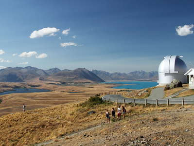 Lake Tekapo | Mt. John Observatory
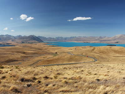 Lakes Alexandrina and Tekapo
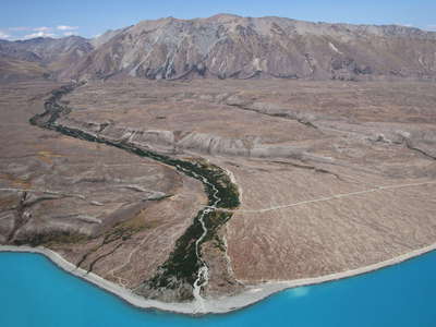 Lake Tekapo with Boundary Stream
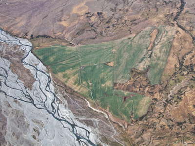 Lilybank | Irrigated land
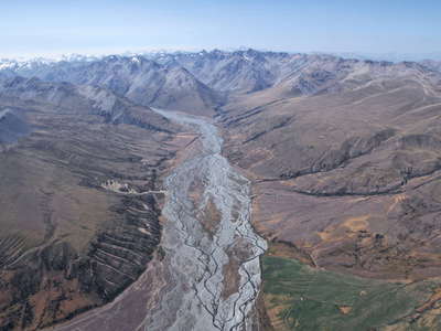 Macaulay Valley
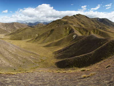 Lindis Pass | Panorama
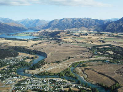 Albert Town and Lake Wanaka
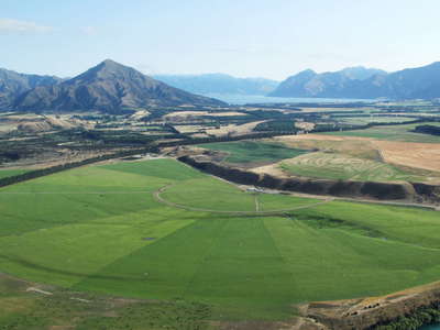 Albert Town | Irrigated land
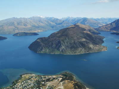 Lake Wanaka
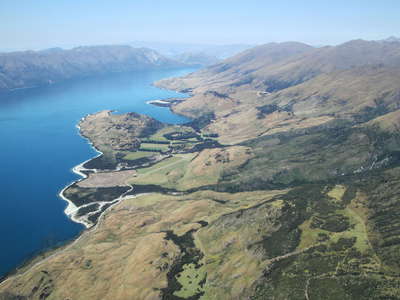 Lake Wanaka
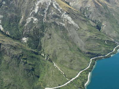 Lake Wanaka with landslide
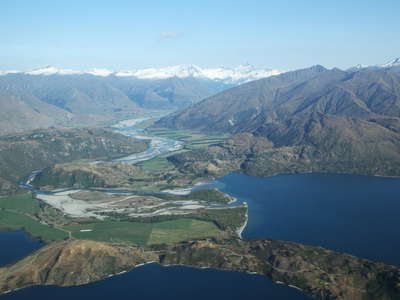 Lake Wanaka and Matukituki Valley
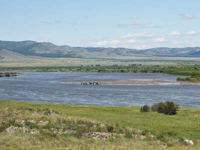 Selenga Valley
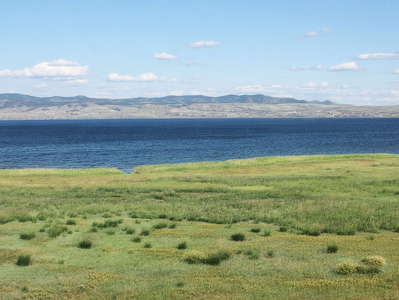 Lake Gusinoye | Shore south of Baraty
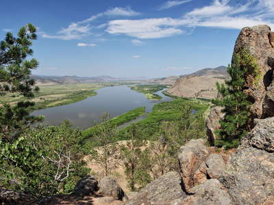 Selenga Valley panorama
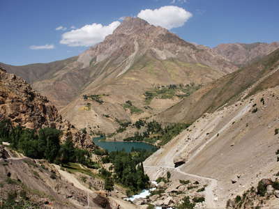 Seven Lakes | Lake Marguzor
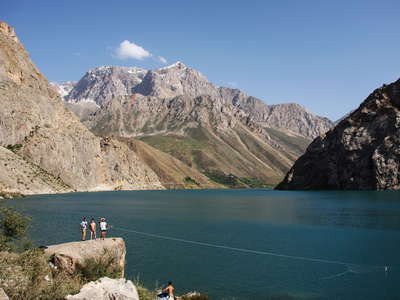 Seven Lakes | Lake Marguzor
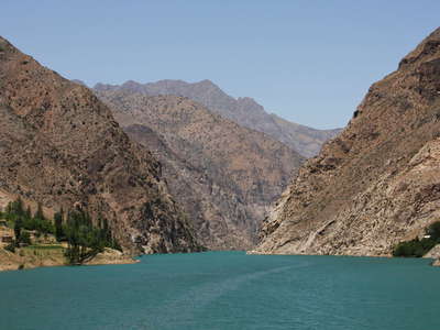 Seven Lakes | Lake Nofin
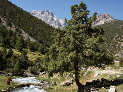 Artuch | Juniper
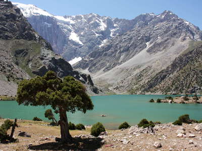 Artuch | Kul-i-Kalon with Juniper and Chimtarga
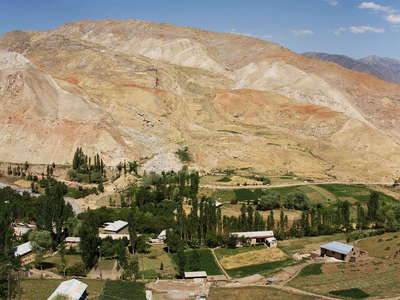 Vashan | Panorama with landslide
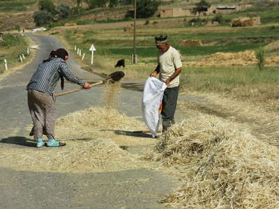 Zarafshan Valley | Farmers on the road
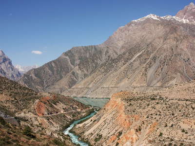 Iskanderkul | Dam with outlet
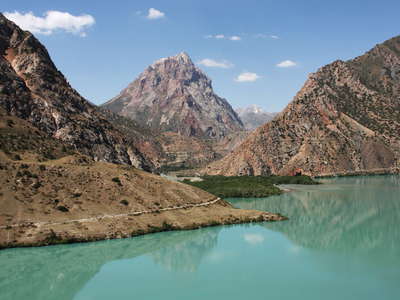 Iskanderkul
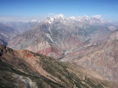 Fan Mountains | Panoramic view
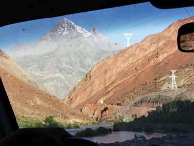 Yagnob Valley
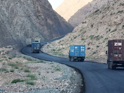 Highway M34 | Access to Istiqlol Tunnel
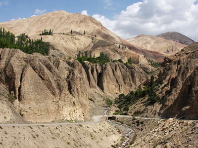 Zarafshan Valley | Badlands
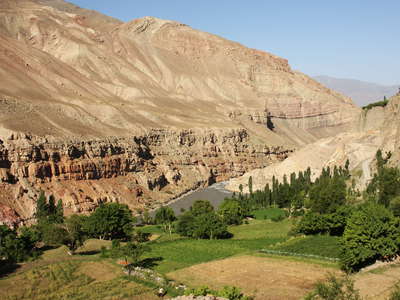 Zarafshan Valley
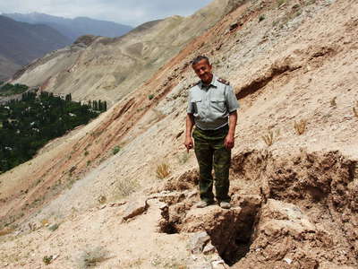 Zarafshan Valley | Slope crack
 Zarafshan Valley with Pakhurd
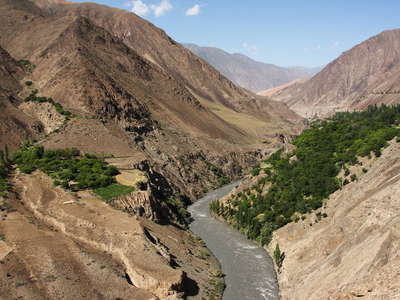 Zarafshan Valley
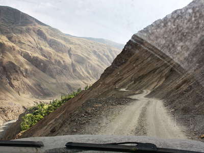 Zarafshan Valley | Main road
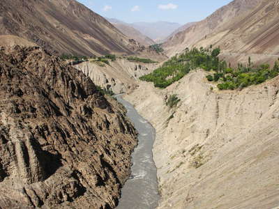 Zarafshan Valley
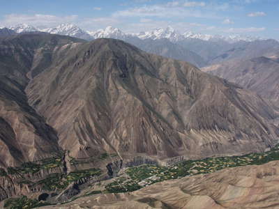 Zarafshan Valley with Shamtuch
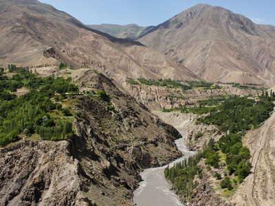 Zarafshan Valley
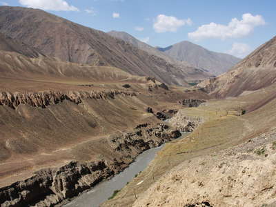 Zarafshan Valley
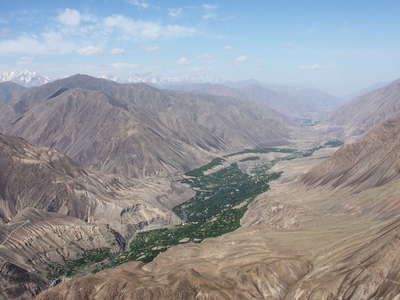 Zarafshan Valley with Pastigov
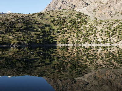 Ghuzn | Reflection
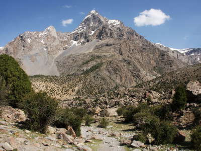 Ghuzn | Treeline area
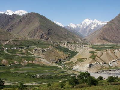 Zarafshan Valley with Hissar Range
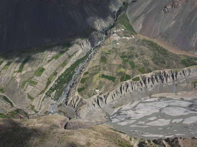 Upper Zarafshan Valley
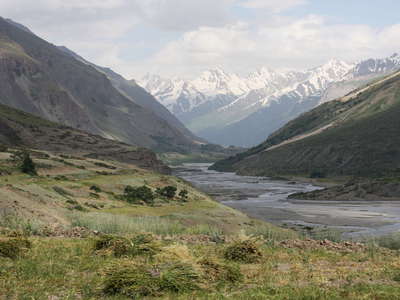 Upper Zarafshan Valley
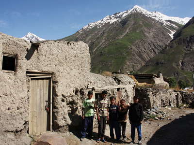 Dehizor | Children
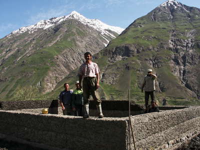 Dehizor | Construction
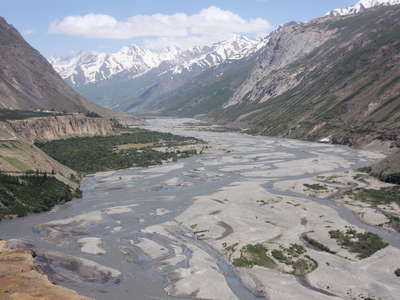 Upper Zarafshan Valley
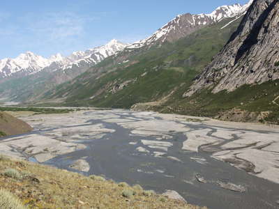 Upper Zarafshan Valley
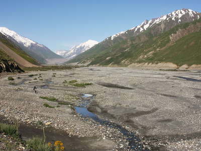 Upper Zarafshan Valley
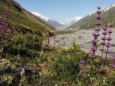 Upper Zarafshan Valley | Alpine vegetation
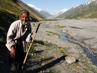 Upper Zarafshan Valley with Shepherd
 Hissar Range
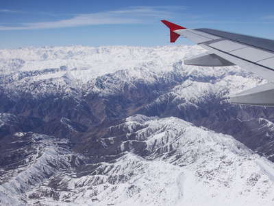 Hissar Range
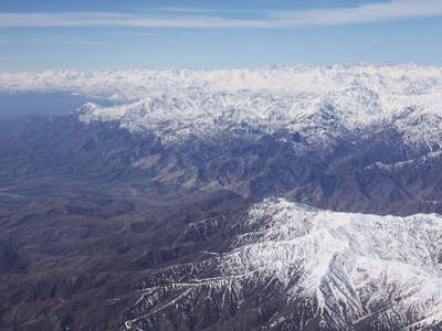 Hissar Range
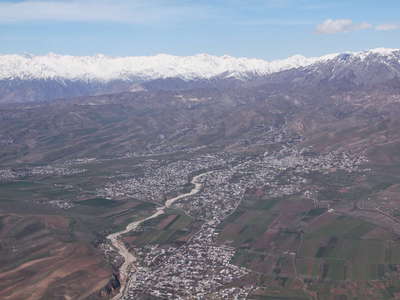 Rokhaty with Hissar Range
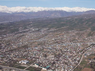 Dushanbe | Suburbs with Hissar Range
 Hissar | Cotton field
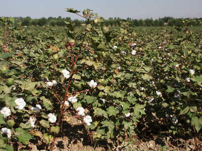 Hissar | Cotton field
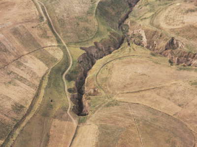 Ilyak Valley | Loess erosion
 Tursunzoda | Loess landscape
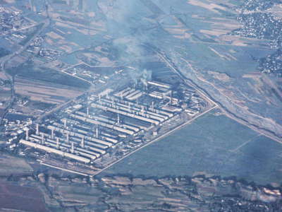 Tursunzoda | Aluminium factory
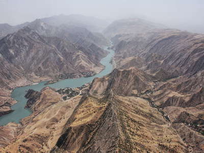 Baipaza Reservoir
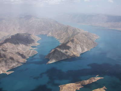 Nurek Reservoir
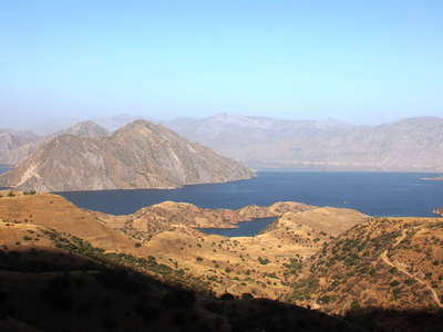 Nurek Reservoir
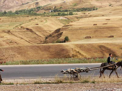 Highway M41 | Traffic
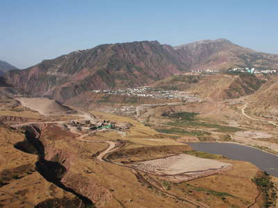 Vakhsh River Valley | Rogun Construction Site
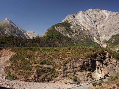 Khingob Valley with Shavruz Mountain
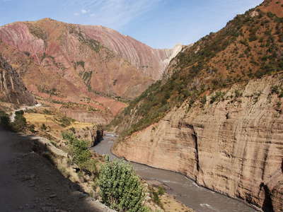 Khingob Valley
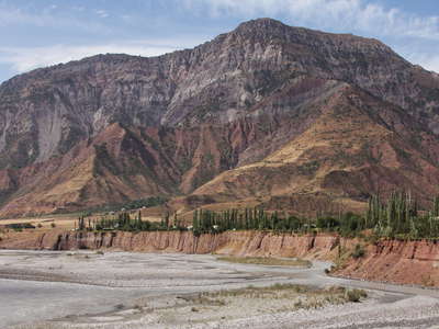 Khingob Valley | Childara
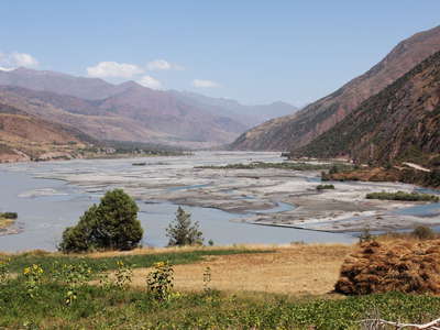 Khingob Valley
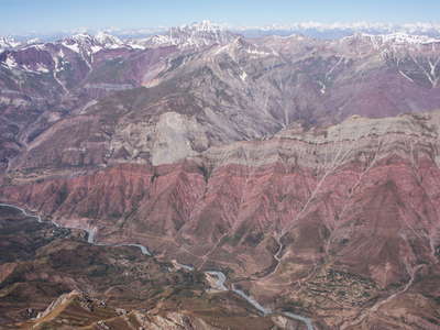 Khingob Valley with Alisurkhon
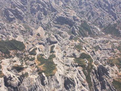 Yakhsu Valley | Sedimentary rock formation
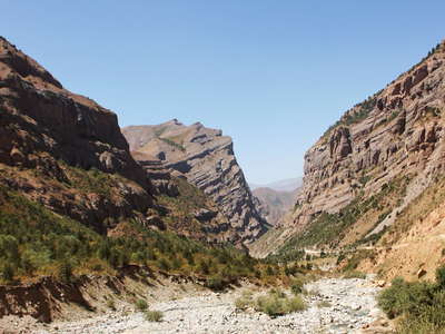 Kala-i Husein | Juniper grove
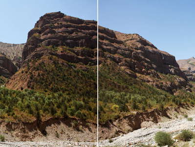 Kala-i Husein | Juniper grove
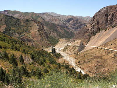 Saghirdasht Pass | Pastirog
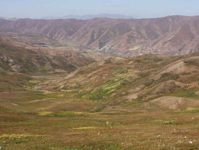 Saghirdasht Pass
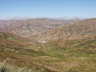 Saghirdasht Pass
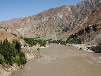 Panj Valley near Kala-i Khumb
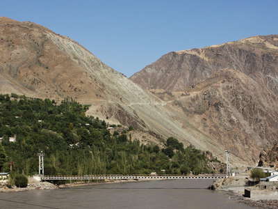 Panj Valley | Ruzvay with Friendship Bridge
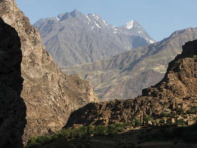 Panj Valley | Redzwayak (Afghanistan)
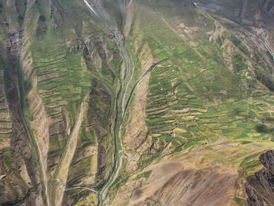 Panj Valley | Farmland near Wuruf (Afghanistan)
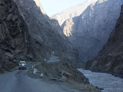 Panj Valley | Shadows
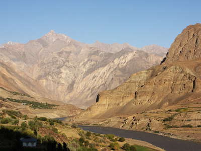 Panj Valley with Lahsh
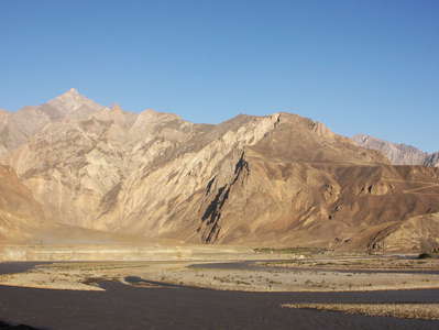 Panj Valley with Vanj river mouth
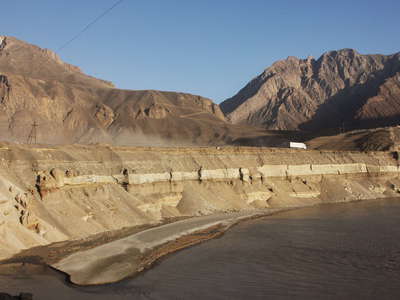 Panj Valley | Terrace near Vanj River mouth
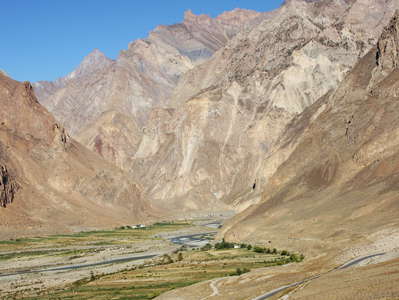 Vanj Valley | Vahdat
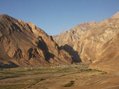 Vanj Valley | Vahdat
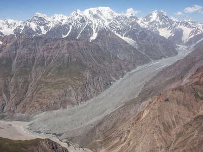 Vanj Valley | R.G.S. Glacier
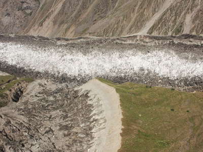 Vanj Valley | Medvezhiy Glacier
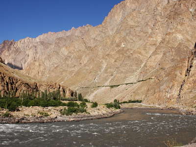 Panj Valley
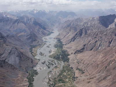 Panj Valley near Rushan
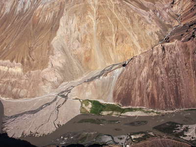 Colourful Bartang Valley
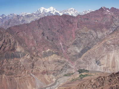 Bartang Valley with Razuj
 Bartang Valley | Main Road
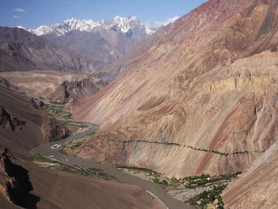 Bartang Valley
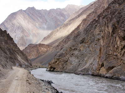 Bartang Valley with main road
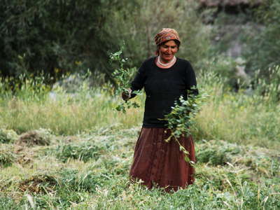 Bartang Valley | Harvest
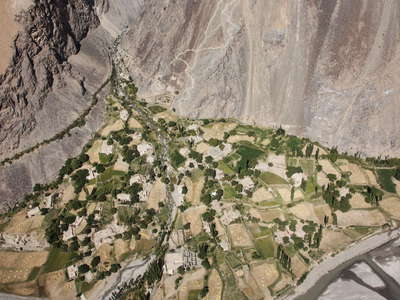 Bartang Valley | Yapshorv
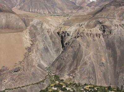 Bartang Valley | Yapshorv and Roshorv
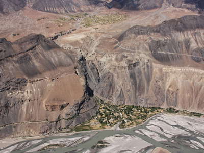 Bartang Valley | Yapshorv and Roshorv
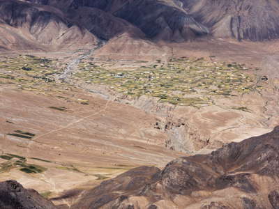 Bartang Valley | Roshorv
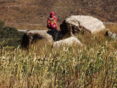 Bartang Valley | Grainfied in Roshorv
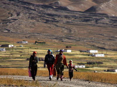 Bartang Valley | Roshorv
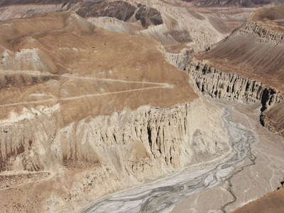 Bartang Valley and Yazgulemdara
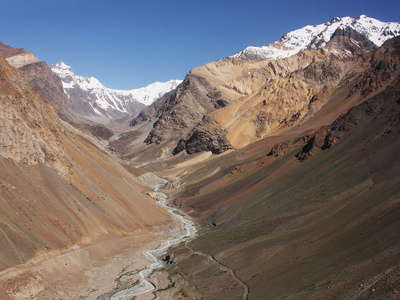 Yazgulemdara
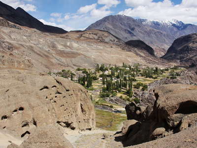 Bartang Valley | Savnob
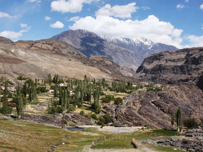 Bartang Valley | Savnob
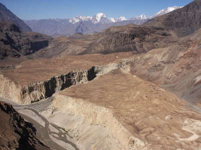 Bartang Valley | Eroded debris cone
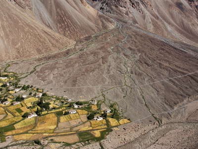 Bartang Valley | Rukhch
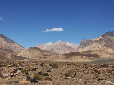 Bartang Valley with Pasor Dam
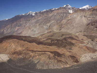 Bartang Valley | Pasor Dam
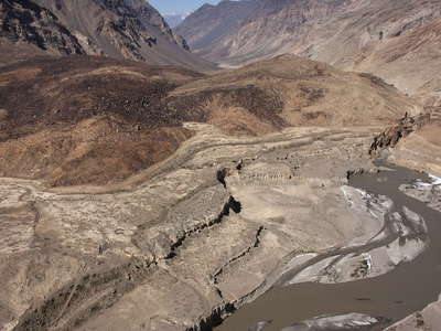 Bartang Valley | Pasor Dam
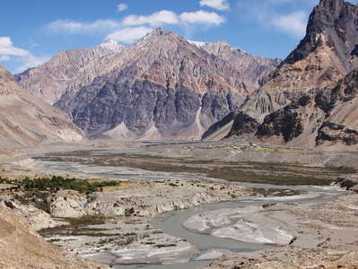 Bartang Valley | Former Ghudara Lake
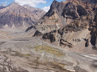 Bartang Valley with Bopasor
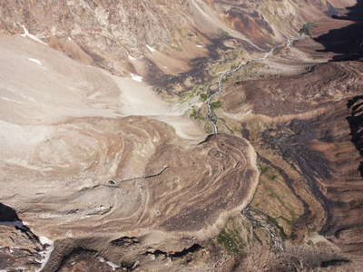 Rushan Range | Rock glaciers
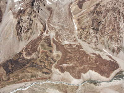 Shadzuddara | Rock glacier
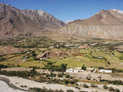 Gunt Valley | Miyonakuh and Shadzud
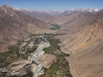 Gunt Valley panorama
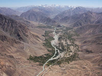 Gunt Valley panorama
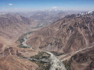 Gunt Valley panorama
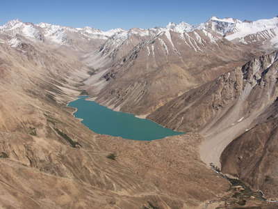 Shugnan Range | Rivakkul
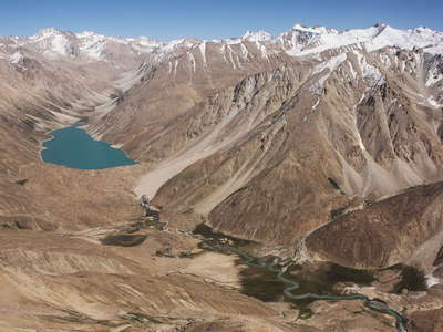 Shugnan Range | Rivakdara with Rivakkkul
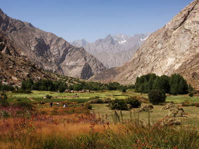 Shugnan Range | Harvest
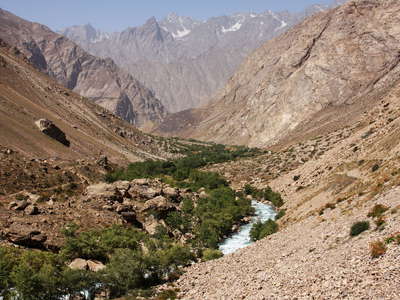 Shugnan Range | Lower Rivakdara
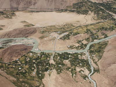 Gunt Valley | Rivak
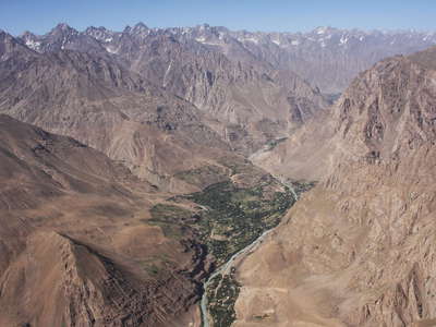 Gunt Valley with Barsem
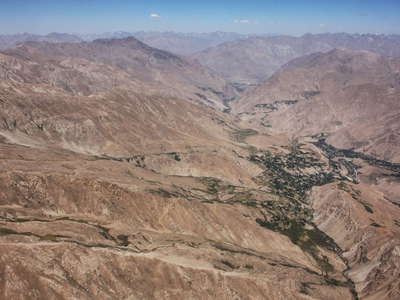 Shakhdara Valley and Tusion
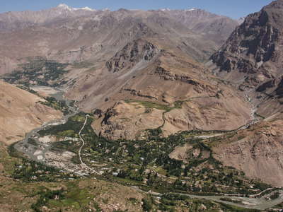 Shakhdara Valley with Anjin
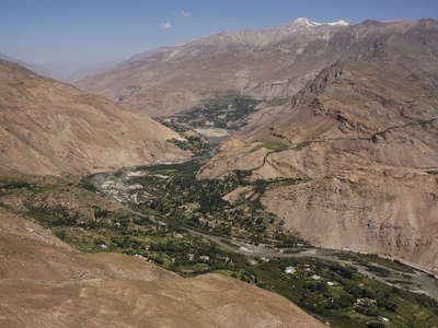 Shakhdara Valley with Anjin
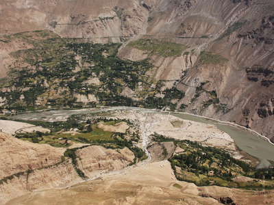 Shakhdara Valley | Dasht
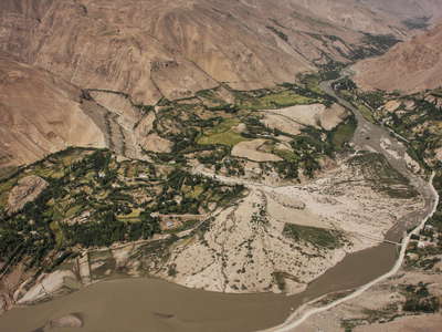 Shakhdara Valley | Dasht
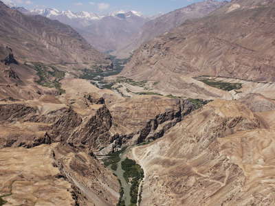 Shakhdara Valley
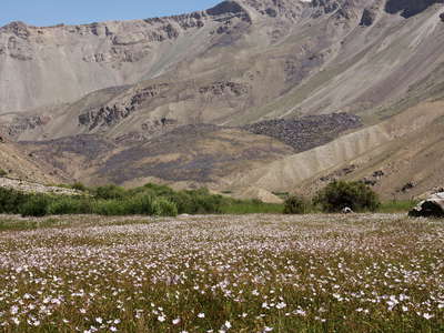
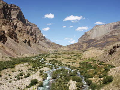 Shakhdara Valley | Durumdara
 Shakhdara Valley | Durumdara
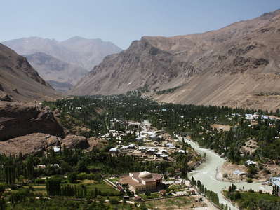 Khorog | Panoramic view
 Lake Shiva dam with landslide (Afghanistan)
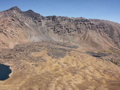 Lake Shiva dam (Afghanistan)
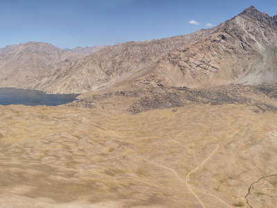 Lake Shiva dam panorama (Afghanistan)
 Panj Valley | Irrigated farmland (Afghanistan)
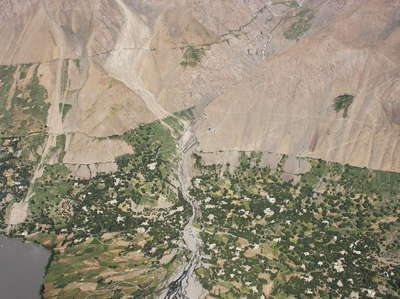 Panj Valley | Dishor (Afghanistan)
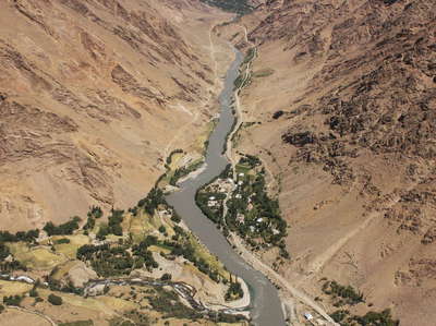 Panj Valley | Afghanistan and Tajikistan
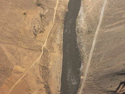 Panj Valley | Afghanistan and Tajikistan
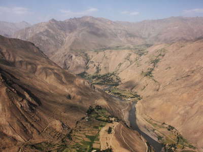 Panj Valley | Tajikistan and Afghanistan
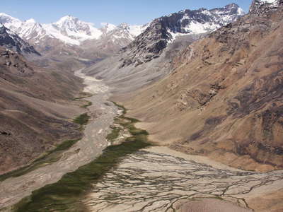 Ishkashim Range | Upper Darshaidara
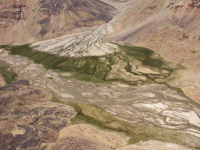 Ishkashim Range | Upper Darshaidara
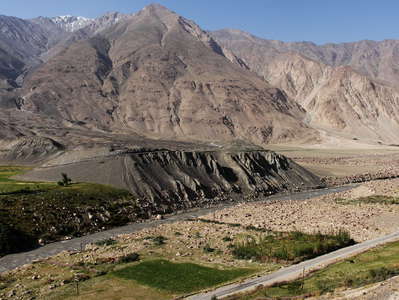 Dasht Sulaymon | Debris avalanche (Afghanistan)
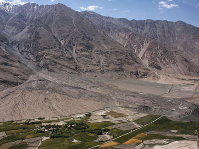 Dasht Sulaymon | Debris avalanche (Afghanistan)
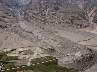 Dasht Sulaymon | Debris avalanche (Afghanistan)
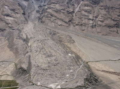 Dasht Sulaymon | Debris avalanche (Afghanistan)
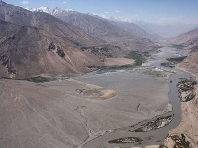 Panj Valley and Hindukush Range
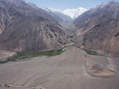 Hindukush Range with Kohe Urgunt (Afghanistan)
 Shitkharv | Mountain stream
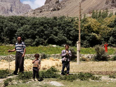 Shitkharv | Farmer with children
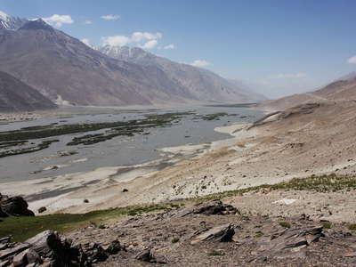 Panj Valley and Hindukush Range
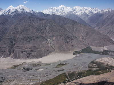 Panj Valley and Hindukush
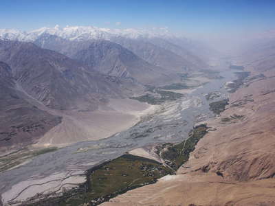 Panj Valley and Hindukush Range
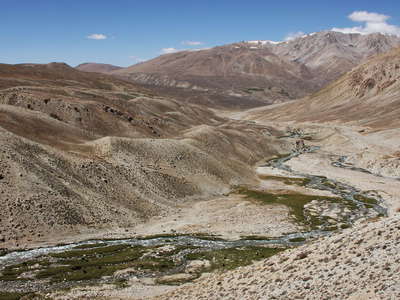 Toguzbulok Valley
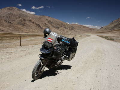 Pamir Highway with Austrian motorbike
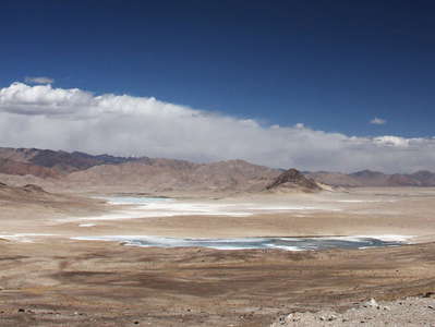 Alichur Pamir panorama
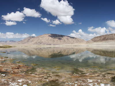 Alichur Pamir reflecting in Sasykkul
 Alichur Pamir reflecting in Sasykkul
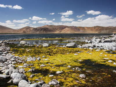 Bulunkul
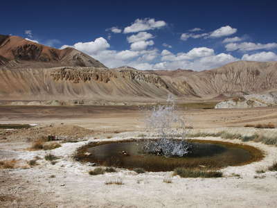 Alichur Pamir | Geyser
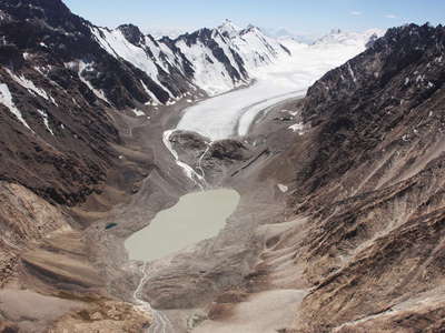 Gora Bakchigir | Glacial Lake
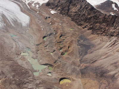 Gora Bakchigir | Decaying glacier tongue
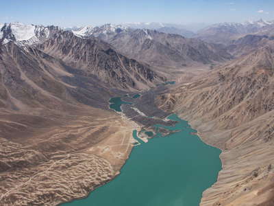 Yashilkul with dam
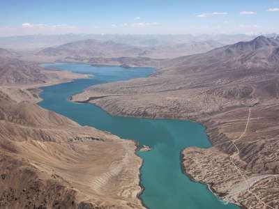 Yashilkul
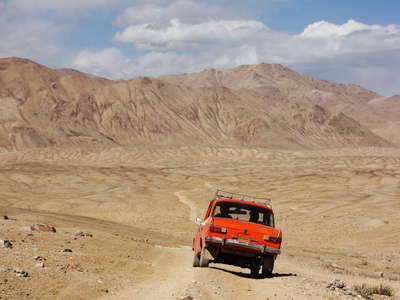 Alichur Pamir | Small car on dirt road
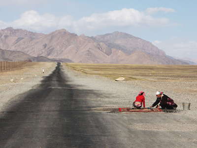 Alichur Pamir | Laundry on Pamir Highway
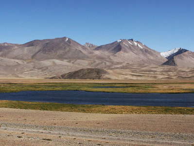 Alichur Pamir with lake
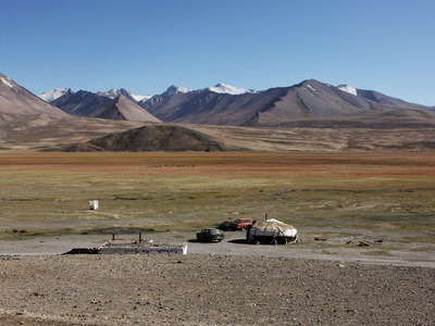 Alichur Pamir with Kyrgyz yurt
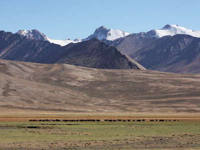 Alichur Pamir | Herd of wild yak
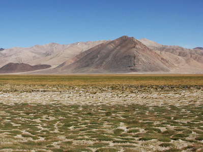 Alichur Pamir panorama
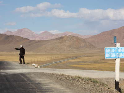 Alichur Pamir | Pamir Highway and Kyrgyz man
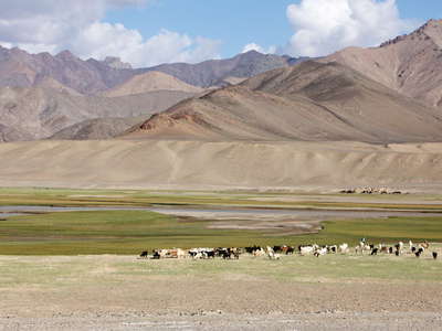 Murghab Valley with livestock
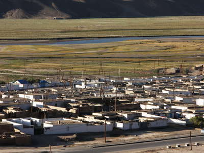 Murghab | Residential area and Murghab River
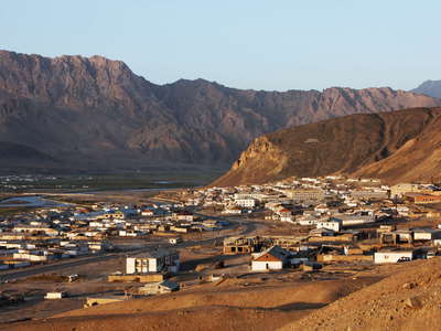 Murghab | Morning panorama
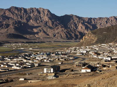 Murghab panorama
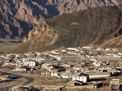 Murghab | Town centre
 Murghab | Kyrgyz family
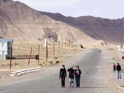 Murghab | Suburbs
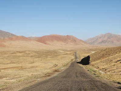 Akbaital Valley with Pamir Highway
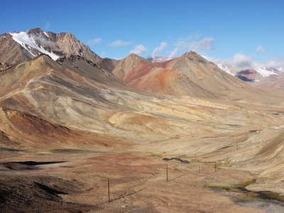 Muzkol Range
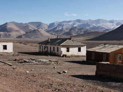 Muzkol Valley | Abandoned buildings
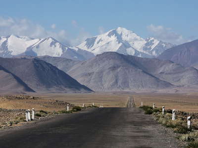 Khargush Pamir | Pamir Highway and Muzkol Range
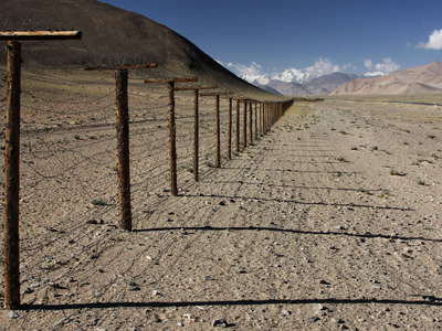 Khargush Pamir | Fence between former USSR and PR China
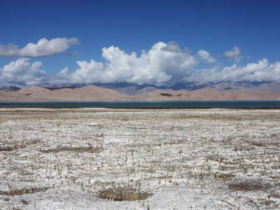 Karakul | Salt rim
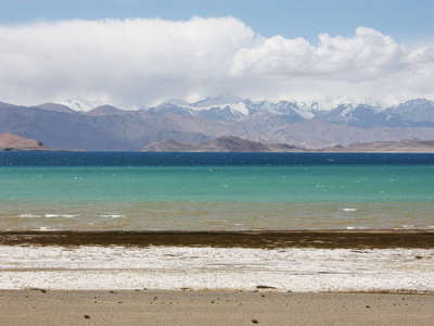 Karakul with salt rim
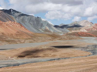 Markansu Valley
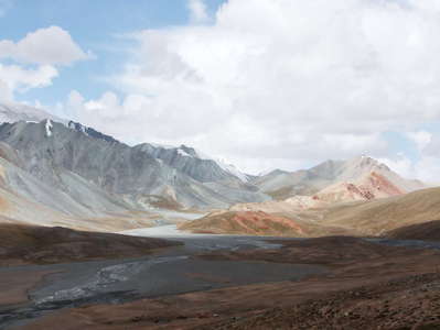 Markansu Valley and Trans Alai Range
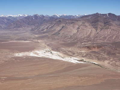 Eastern Pamir Highland panorama
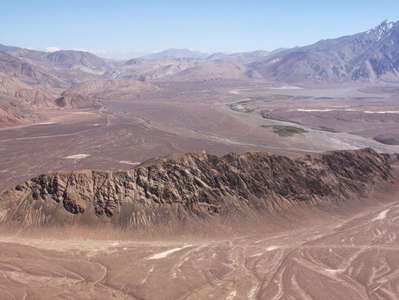 Kokuibel Valley panorama
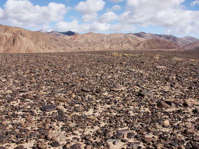 Eastern Pamir Highland | Stone desert
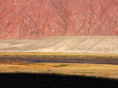 Kokuibel Valley
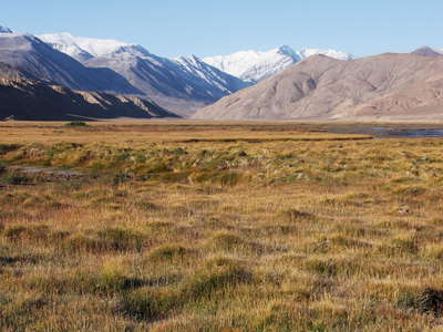 Kokuibel Valley and Muzkol Range
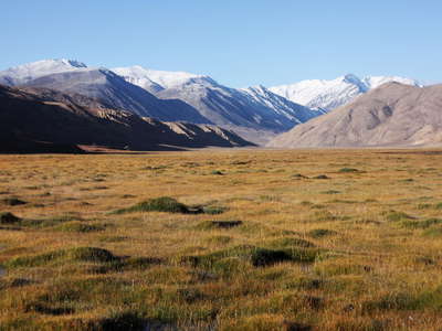 Kokuibel Valley and Muzkol Range
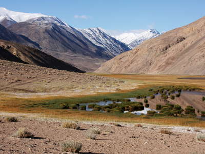 Kokuibel Valley and Muzkol Range
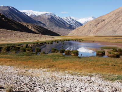 Kokuibel Valley and Muzkol Range
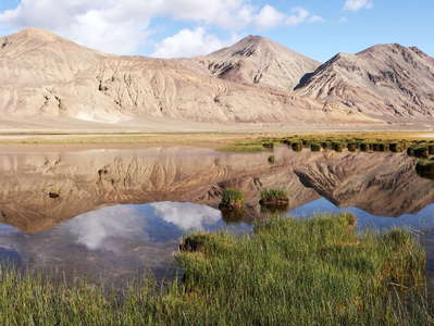 Kokuibel Valley | Reflections
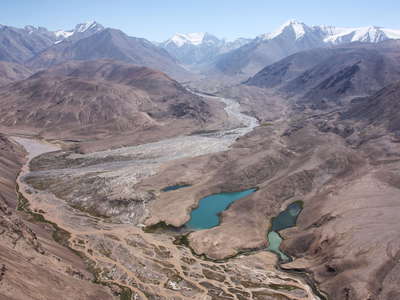 Kokuibel Valley and Muzkol Range
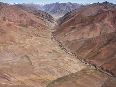 Kaltatur Valley
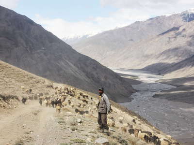 Tanimas Valley | Herder
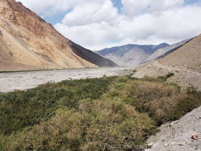 Tanimas Valley | Riverine forest
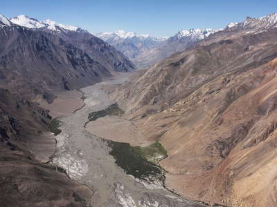 Tanimas Valley
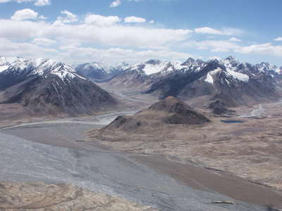 Karajilga Valley
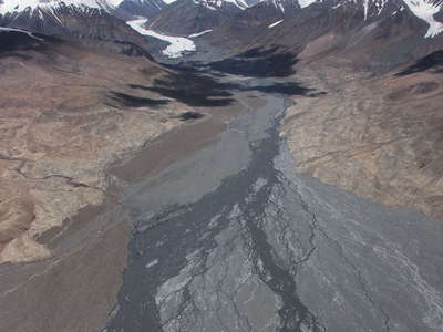 Trans Alai Range with Oktyabrsky Peak
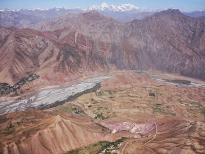 Surkhob Valley
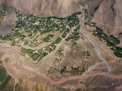 Kyzylsu Valley | Karasoy
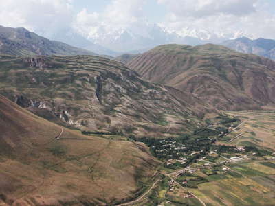 Kyzylsu Valley | Gypsum karst and landslide
 Kyzylsu Valley with Highway A352
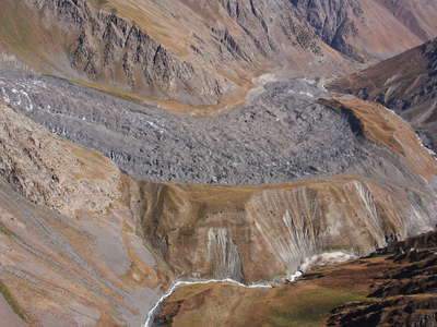 Tandykul Valley | Tandykul Glacier
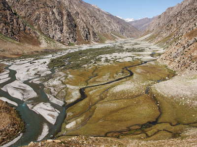 Pitowkul Valley
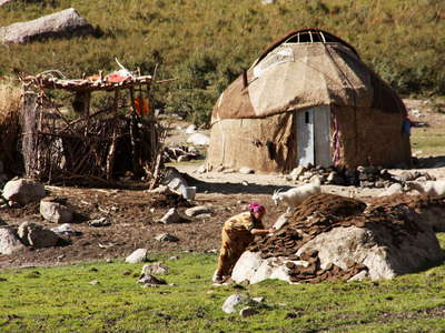 Pitowkul Valley | Kyrgyz camp
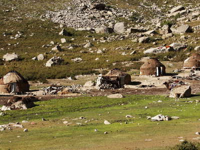 Pitowkul Valley | Kyrgyz camp
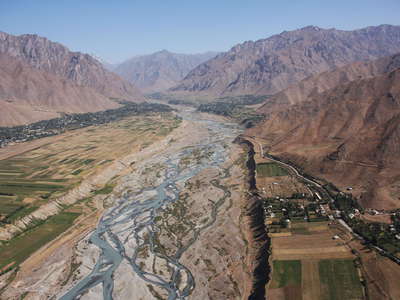 Jirgatol | Koksu River
 Yangishahr | Koksu River
 Jirgatol
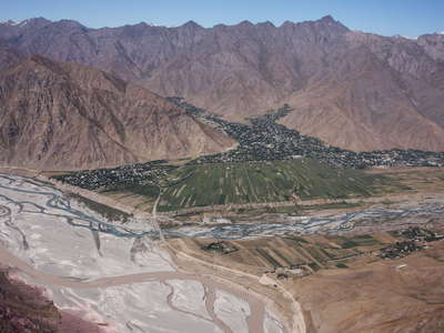 Surkhob Valley and Jirgatol
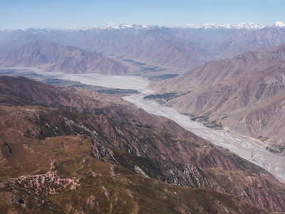 Surkhob Valley panorama
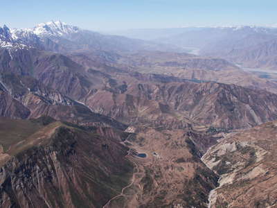 Peter the First Range and Surkhob Valley
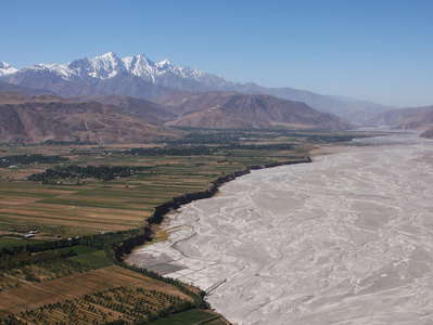 Surkhob Valley and Peter the First Range
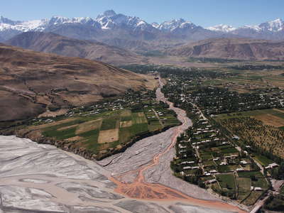 Surkhob Valley with Kichigizi
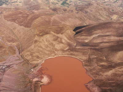 Kizilkul with Surkhob Valley
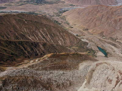 Khait Rock Avalanche and Yasman Valley
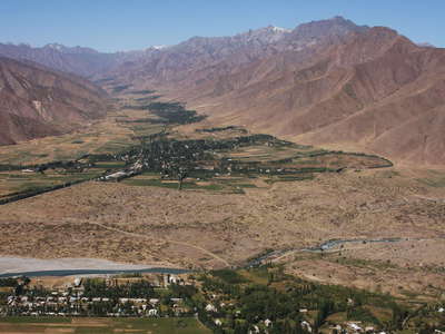 Khait Rock Avalanche and Yasman Valley
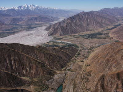 Khait Rock Avalanche and Yasman Valley
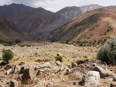 Khait Rock Avalanche
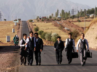 Surkhob Valley | School children
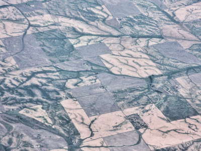 Columbia Basin | Overlay
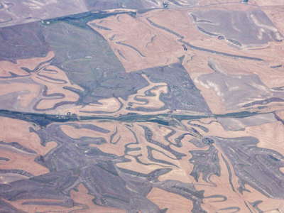 Columbia Basin | Overlay
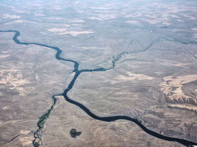 Columbia Basin | Snake River
 Irrigation patterns (Oregon)
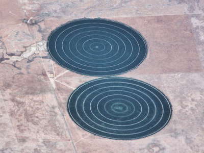 Irrigation patterns (Oregon)
